Transport Functions
Port
Multimodal
Hub Profile
Place type
District seat
Region
Extremadura
Population
2,627
Time zone
Europe/Madrid
Elevation
543 m
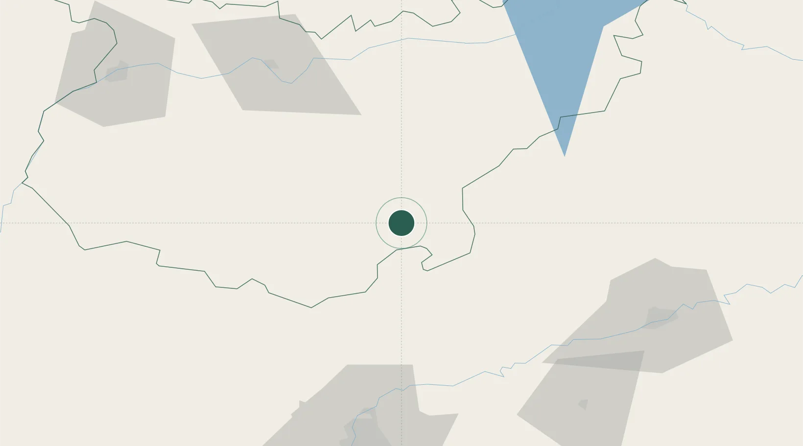
Location
Nearby Logistics Neighbours
Cities
- 1Valverde de Llerena7 km
- 2Maguilla9 km
- 3Azuaga12 km
- 4Fuente del Arco17 km
- 5Llerena18 km
Ports
- 1Sevilla103 km
- 2Huelva152 km
- 3Vila Real De S Antonio185 km
- 4Rota191 km
- 5Cadiz199 km
Airports
- 1Madroñalejos Forest Fire fighting Heliport93 km
- 2Seville Airport97 km
- 3Córdoba Airport98 km
- 4Badajoz Airport110 km
- 5Moron Air Base125 km
Trade Zones
- 1Zona Franca de Sevilla107 km
- 2Puerto de Huelva152 km
- 3Depósito Franco de Málaga179 km
- 4Zona Franca de Cádiz202 km
- 5Depósito Franco de Algeciras242 km
DatabookThe Record of Consolidated Knowledge
Spain beyond logistics?