Transport Functions
Multimodal
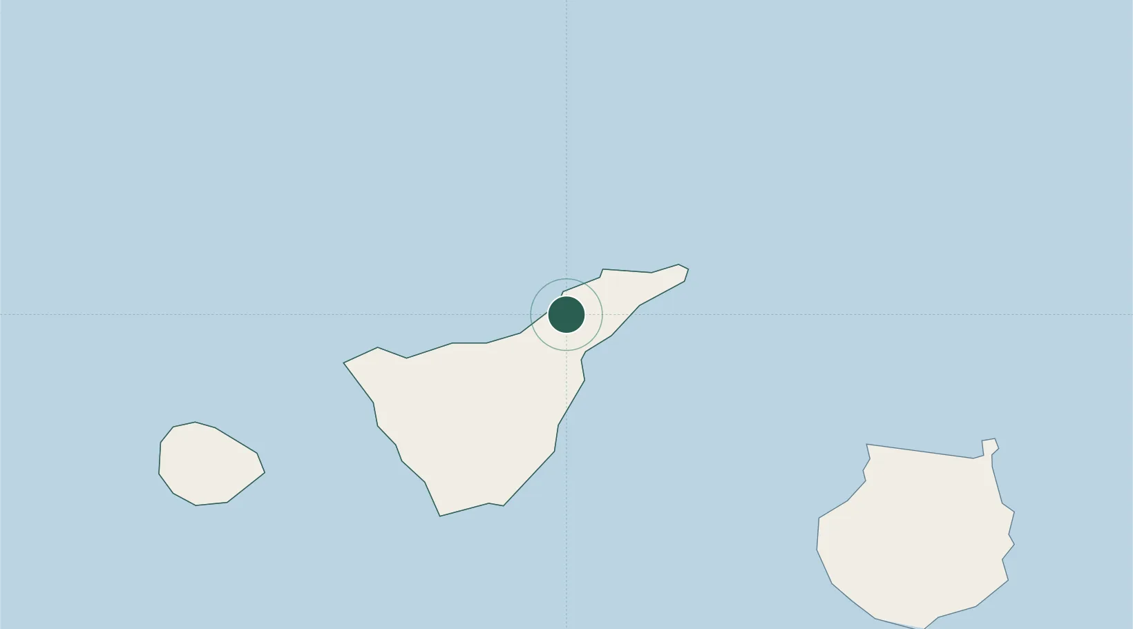
Hub Profile
Place type
District seat
Region
Canary Islands
Population
23,562
Time zone
Atlantic/Canary
Elevation
569 m
Location
Nearby Logistics Neighbours
Cities
- 1Sauzal2 km
- 2Valle de Guerra6 km
- 3La Victoria De Acentejo7 km
- 4Santa Úrsula9 km
- 5Tejina9 km
Ports
- 1Santa Cruz De Tenerife16 km
- 2Las Palmas103 km
- 3Santa Cruz De La Palma134 km
- 4Puerto Del Rosario249 km
- 5Arrecife285 km
Airports
- 1Tenerife Norte-Ciudad de La Laguna Airport6 km
- 2Tenerife Sur Airport50 km
- 3La Gomera Airport93 km
- 4Gran Canaria Airport116 km
- 5La Palma Airport134 km
Trade Zones
DatabookThe Record of Consolidated Knowledge
Spain beyond logistics?