UN/LOCODE hub · Spain
ESCGG

Campllong

41.8833°, 2.8167°
126
Population
1
Transport functions

Transport Functions

Port
UN/LOCODE

Hub Profile

Place type
Locality
GeoNames
Region
Catalonia
GeoNames
Population
126
GeoNames
Time zone
Europe/Madrid
GeoNames
Elevation
112 m
GeoNames

Location

Location of ESCGG
Natural Earth 10m (public domain) · Catalonia · ESCGG · 41.88, 2.82GoogleOSMYandex

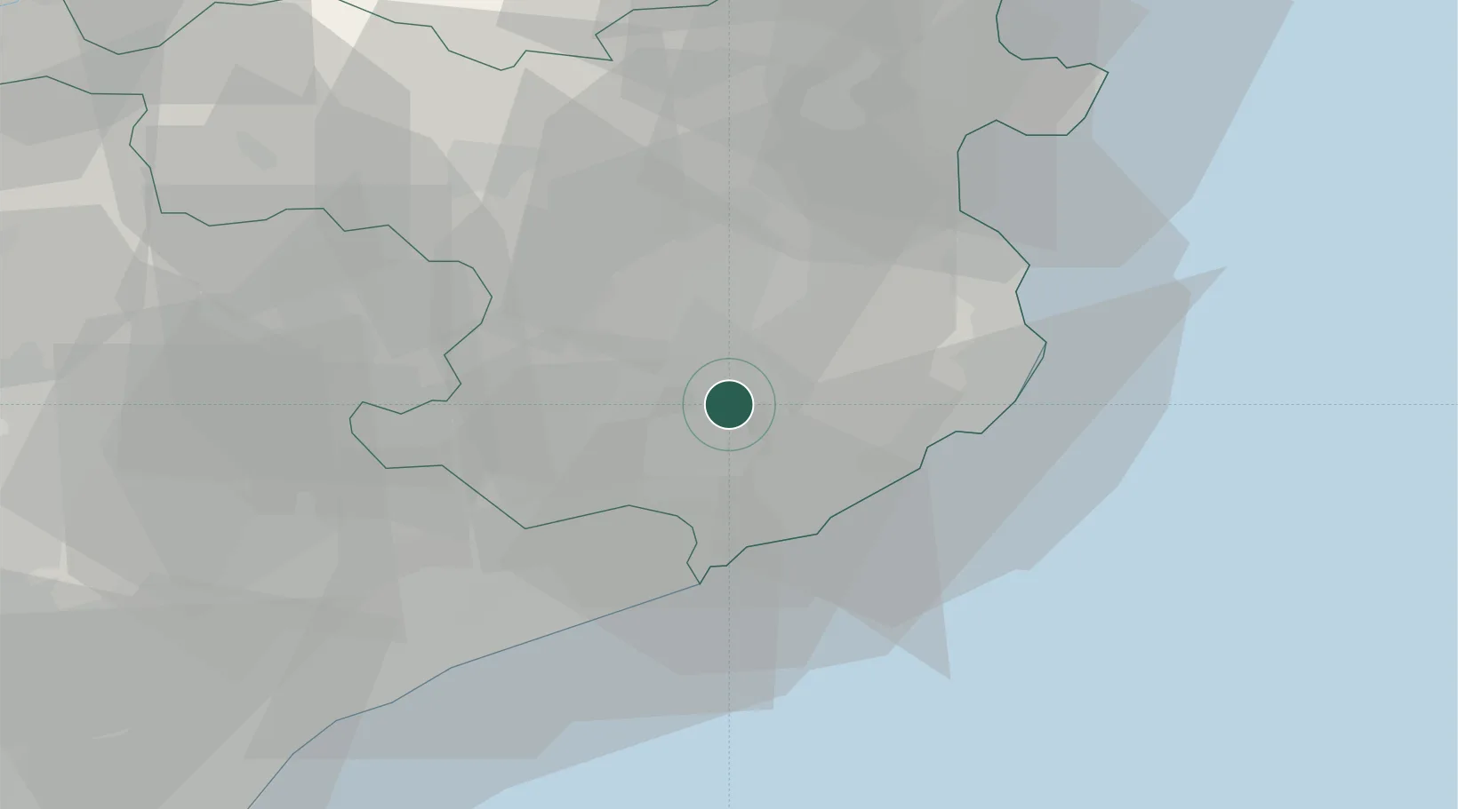
Nearby Logistics Neighbours

Cities
  1. 1El Perelló8 km
  2. 2Vilablareix10 km
  3. 3Sils11 km
  4. 4Gerona (Girona)11 km
  5. 5Fontcoberta11 km
Nearest neighbours — logibook spatial index (haversine) over the source coordinates
Ports
  1. 1San Feliu De Guixols21 km
  2. 2Palamos26 km
  3. 3Rosas52 km
  4. 4Port-Vendres75 km
  5. 5Barcelona80 km
Nearest neighbours — logibook spatial index (haversine) over the source coordinates
Airports
  1. 1Girona-Costa Brava Airport5 km
  2. 2Folgueroles Airfield43 km
  3. 3Josep Tarradellas Barcelona-El Prat Airport90 km
  4. 4Perpignan-Rivesaltes (Llabanère) Airport95 km
  5. 5Pirineus - la Seu d'Urgel Airport127 km
Nearest neighbours — logibook spatial index (haversine) over the source coordinates
Trade Zones
  1. 1Zona Franca de Barcelona84 km
  2. 2ZFU Perpignan91 km
  3. 3Depósito Franco de Tarragona156 km
  4. 4ZFU Béziers165 km
  5. 5ZFU Montpellier209 km
Nearest neighbours — logibook spatial index (haversine) over the source coordinates
DatabookThe Record of Consolidated Knowledge
Spain beyond logistics?
Browse databook

All Sources

LocationsUN/LOCODE
UN/LOCODE — free
LocationsGeoNames
CC BY 4.0
Portsthe NGA World Port Index
Public domain (US gov)
AirportsOurAirports
Public domain
Trade Zonesthe World Bank SEZ database
CC BY 4.0
Trade ZonesOpen Zone Map
CC BY
← Spain locations