UN/LOCODE hub · Spain
ESCHR

Caleta de Sebo

29.2333°, -13.5000°
656
Population
1
Transport functions

Transport Functions

Port
UN/LOCODE

Hub Profile

Place type
Populated place
GeoNames
Region
Canary Islands
GeoNames
Population
656
GeoNames
Time zone
Atlantic/Canary
GeoNames
Elevation
11 m
GeoNames

Location

Location of ESCHR
Natural Earth 10m (public domain) · Canary Islands · ESCHR · 29.23, -13.50GoogleOSMYandex

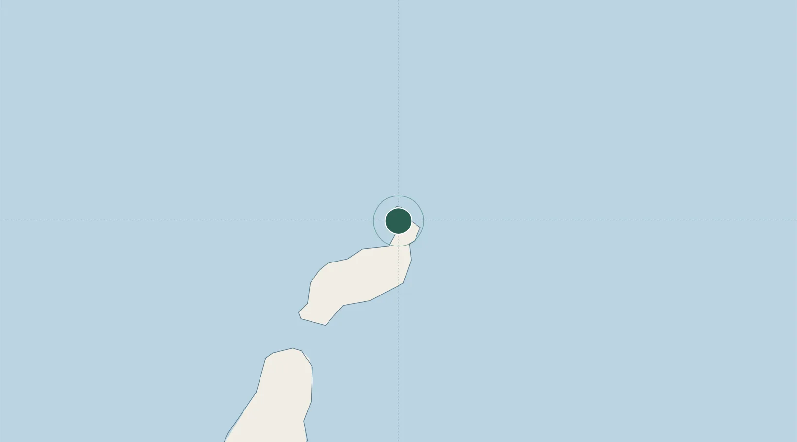
Nearby Logistics Neighbours

Cities
  1. 1La Graciosa2 km
  2. 2Orzola5 km
  3. 3San Bartolomé de Tirajana28 km
  4. 4Lanzarote29 km
  5. 5Puerto del Carmen39 km
Nearest neighbours — logibook spatial index (haversine) over the source coordinates
Ports
  1. 1Arrecife32 km
  2. 2Puerto Del Rosario88 km
  3. 3Las Palmas222 km
  4. 4Laayoune239 km
  5. 5Santa Cruz De Tenerife280 km
Nearest neighbours — logibook spatial index (haversine) over the source coordinates
Airports
  1. 1César Manrique-Lanzarote Airport34 km
  2. 2Fuerteventura Airport94 km
  3. 3Laayoune Hassan I International Airport234 km
  4. 4Gran Canaria Airport234 km
  5. 5Tan Tan Airport244 km
Nearest neighbours — logibook spatial index (haversine) over the source coordinates
Trade Zones
  1. 1Zona Franca de Las Palmas de Gran Canaria221 km
  2. 2Zona Franca de Tenerife280 km
  3. 3Bîr Oum Ghrïn Free Zone485 km
  4. 4Centro Internacional De Negocios da Madeira500 km
  5. 5Omrane Sahel Industrial Zone524 km
Nearest neighbours — logibook spatial index (haversine) over the source coordinates
DatabookThe Record of Consolidated Knowledge
Spain beyond logistics?
Browse databook

All Sources

LocationsUN/LOCODE
UN/LOCODE — free
LocationsGeoNames
CC BY 4.0
Portsthe NGA World Port Index
Public domain (US gov)
AirportsOurAirports
Public domain
Trade Zonesthe World Bank SEZ database
CC BY 4.0
Trade ZonesOpen Zone Map
CC BY
← Spain locations