UN/LOCODE hub · Spain
ESCDP
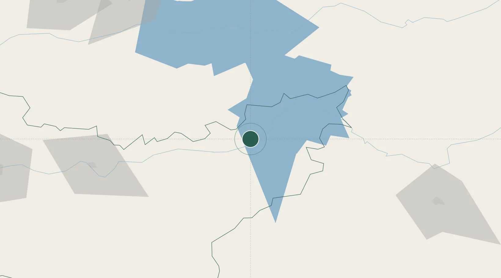
Casas de Don Pedro
39.1000°, -5.3167°
1,658
Population
1
Transport functions
Transport Functions
Multimodal
Hub Profile
Place type
Populated place
Region
Extremadura
Population
1,658
Time zone
Europe/Madrid
Elevation
376 m
Location
Nearby Logistics Neighbours
Cities
- 1Talarrubias10 km
- 2La Puebla de Alcocer14 km
- 3Valdecaballeros20 km
- 4Orellana la Vieja22 km
- 5Logrosan30 km
Ports
- 1Sevilla202 km
- 2Huelva250 km
- 3Malaga277 km
- 4Vila Real De S Antonio280 km
- 5Rota290 km
Airports
- 1Ciudad Real International Airport120 km
- 2Badajoz Airport132 km
- 3Córdoba Airport146 km
- 4Getafe Air Base190 km
- 5Madrid-Cuatro Vientos Airport193 km
Trade Zones
- 1Zona Franca de Sevilla205 km
- 2Depósito Franco de Madrid-Aeropuerto211 km
- 3Depósito Franco de Málaga239 km
- 4Puerto de Huelva250 km
- 5Zona Franca de Cádiz301 km
DatabookThe Record of Consolidated Knowledge
Spain beyond logistics?