UN/LOCODE hub · Spain
ESMDL

Medellin

38.9500°, -5.9667°
2,357
Population
1
Transport functions

Transport Functions

Multimodal
UN/LOCODE

Hub Profile

Place type
District seat
GeoNames
Region
Extremadura
GeoNames
Population
2,357
GeoNames
Time zone
Europe/Madrid
GeoNames
Elevation
251 m
GeoNames

Location

Location of ESMDL
Natural Earth 10m (public domain) · Extremadura · ESMDL · 38.95, -5.97GoogleOSMYandex

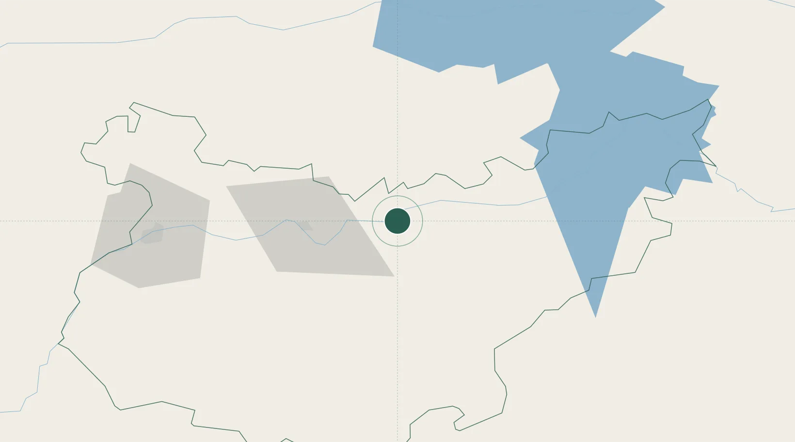
Nearby Logistics Neighbours

Cities
  1. 1Santa Amalia9 km
  2. 2Hernan Cortes9 km
  3. 3Valdetorres9 km
  4. 4La Haba15 km
  5. 5Magacela21 km
Nearest neighbours — logibook spatial index (haversine) over the source coordinates
Ports
  1. 1Sevilla176 km
  2. 2Huelva208 km
  3. 3Vila Real De S Antonio233 km
  4. 4Setubal259 km
  5. 5Rota261 km
Nearest neighbours — logibook spatial index (haversine) over the source coordinates
Airports
  1. 1Badajoz Airport74 km
  2. 2Estremoz Municipal Heliport143 km
  3. 3Córdoba Airport157 km
  4. 4Madroñalejos Forest Fire fighting Heliport160 km
  5. 5Aerodromo de Castelo Branco161 km
Nearest neighbours — logibook spatial index (haversine) over the source coordinates
Trade Zones
  1. 1Zona Franca de Sevilla180 km
  2. 2Puerto de Huelva207 km
  3. 3Depósito Franco de Málaga247 km
  4. 4Depósito Franco de Madrid-Aeropuerto264 km
  5. 5Zona Franca de Cádiz274 km
Nearest neighbours — logibook spatial index (haversine) over the source coordinates
DatabookThe Record of Consolidated Knowledge
Spain beyond logistics?
Browse databook

All Sources

LocationsUN/LOCODE
UN/LOCODE — free
LocationsGeoNames
CC BY 4.0
Portsthe NGA World Port Index
Public domain (US gov)
AirportsOurAirports
Public domain
Trade Zonesthe World Bank SEZ database
CC BY 4.0
Trade ZonesOpen Zone Map
CC BY
← Spain locations