Transport Functions
Multimodal
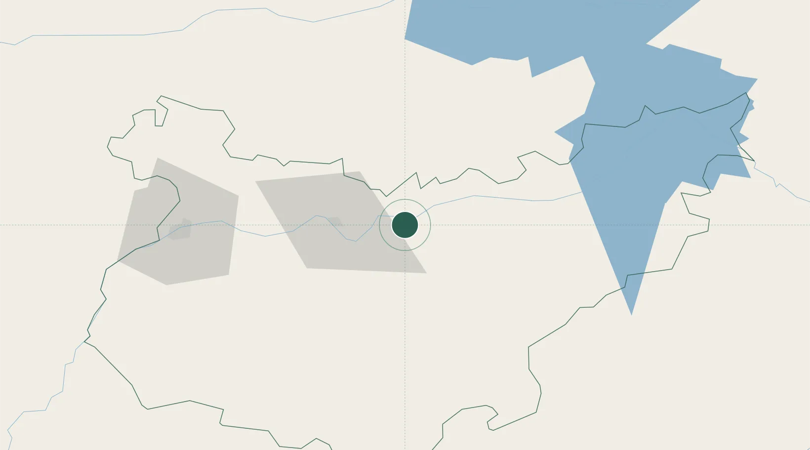
Hub Profile
Place type
District seat
Region
Extremadura
Population
1,301
Time zone
Europe/Madrid
Elevation
243 m
Location
Nearby Logistics Neighbours
Cities
- 1Medellin9 km
- 2Santa Amalia12 km
- 3Hernan Cortes16 km
- 4La Zarza17 km
- 5La Haba23 km
Ports
- 1Sevilla173 km
- 2Huelva201 km
- 3Vila Real De S Antonio225 km
- 4Setubal250 km
- 5Rota257 km
Airports
- 1Badajoz Airport65 km
- 2Estremoz Municipal Heliport134 km
- 3Madroñalejos Forest Fire fighting Heliport155 km
- 4Aerodromo de Castelo Branco157 km
- 5Córdoba Airport160 km
Trade Zones
- 1Zona Franca de Sevilla176 km
- 2Puerto de Huelva200 km
- 3Depósito Franco de Málaga248 km
- 4Zona Franca de Cádiz269 km
- 5Depósito Franco de Madrid-Aeropuerto273 km
DatabookThe Record of Consolidated Knowledge
Spain beyond logistics?