Transport Functions
Port
Road
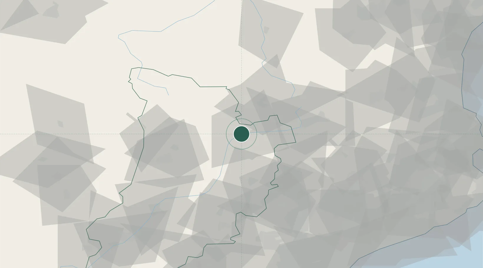
Hub Profile
Place type
Populated place
Region
Catalonia
Population
12,041
Time zone
Europe/Madrid
Elevation
700 m
Location
Nearby Logistics Neighbours
Cities
- 1Andorra la Vella16 km
- 2Olp28 km
- 3Latour-de-Carol39 km
- 4L'Hospitalet-près-l'Andorre39 km
- 5Olius40 km
Ports
- 1Barcelona128 km
- 2Villanueva Y Geltru128 km
- 3Port-Vendres138 km
- 4Tarragona142 km
- 5Rosas143 km
Airports
Trade Zones
- 1ZFU Perpignan124 km
- 2Zona Franca de Barcelona127 km
- 3ZFU Toulouse138 km
- 4Depósito Franco de Tarragona140 km
- 5ZFU Béziers180 km
DatabookThe Record of Consolidated Knowledge
Spain beyond logistics?