Transport Functions
Rail
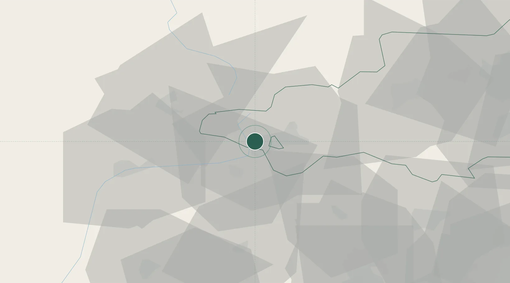
Hub Profile
Place type
Populated place
Region
Occitanie
Population
455
Time zone
Europe/Paris
Elevation
1,254 m
Location
Nearby Logistics Neighbours
Cities
- 1Puigcerdá5 km
- 2L'Hospitalet-près-l'Andorre17 km
- 3La Cabanasse18 km
- 4Ax-les-Thermes28 km
- 5Andorra la Vella32 km
Ports
- 1Port-Vendres100 km
- 2Rosas108 km
- 3Port-La-Nouvelle113 km
- 4San Feliu De Guixols121 km
- 5Palamos123 km
Airports
Trade Zones
- 1ZFU Perpignan85 km
- 2Zona Franca de Barcelona127 km
- 3ZFU Toulouse132 km
- 4ZFU Béziers144 km
- 5Depósito Franco de Tarragona160 km
DatabookThe Record of Consolidated Knowledge
France beyond logistics?