UN/LOCODE hub · Andorra
ADALV
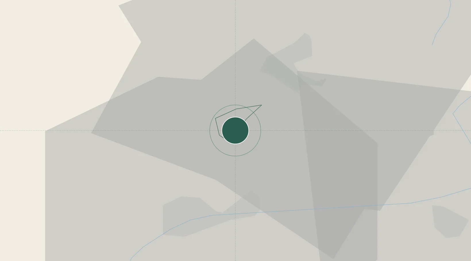
Andorra la Vella
42.5000°, 1.5167°
20,430
Population
3
Transport functions
Transport Functions
Road
Airport
Multimodal
Hub Profile
Place type
National capital
Region
Andorra la Vella
Population
20,430
Time zone
Europe/Andorra
Elevation
1,037 m
Location
Nearby Logistics Neighbours
Cities
- 1La Seu d'Urgell16 km
- 2L'Hospitalet-près-l'Andorre26 km
- 3Latour-de-Carol32 km
- 4Olp34 km
- 5Puigcerdá35 km
Ports
- 1Port-Vendres131 km
- 2Barcelona139 km
- 3Port-La-Nouvelle139 km
- 4Rosas139 km
- 5Villanueva Y Geltru142 km
Airports
Trade Zones
- 1ZFU Perpignan115 km
- 2ZFU Toulouse123 km
- 3Zona Franca de Barcelona139 km
- 4Depósito Franco de Tarragona156 km
- 5ZFU Béziers167 km
DatabookThe Record of Consolidated Knowledge
Andorra beyond logistics?