Transport Functions
Multimodal
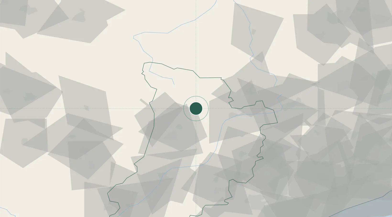
Hub Profile
Place type
Populated place
Region
Catalonia
Time zone
Europe/Madrid
Elevation
1,100 m
Location
Nearby Logistics Neighbours
Cities
- 1La Pobla de Segur24 km
- 2La Seu d'Urgell28 km
- 3Andorra la Vella34 km
- 4Castillazuelo55 km
- 5L'Hospitalet-près-l'Andorre59 km
Ports
- 1Villanueva Y Geltru143 km
- 2Barcelona149 km
- 3Tarragona149 km
- 4Port-Vendres164 km
- 5Rosas171 km
Airports
Trade Zones
- 1ZFU Toulouse133 km
- 2Depósito Franco de Tarragona147 km
- 3Zona Franca de Barcelona148 km
- 4ZFU Perpignan148 km
- 5Depósito Franco de Zaragoza179 km
DatabookThe Record of Consolidated Knowledge
Spain beyond logistics?