Transport Functions
Multimodal
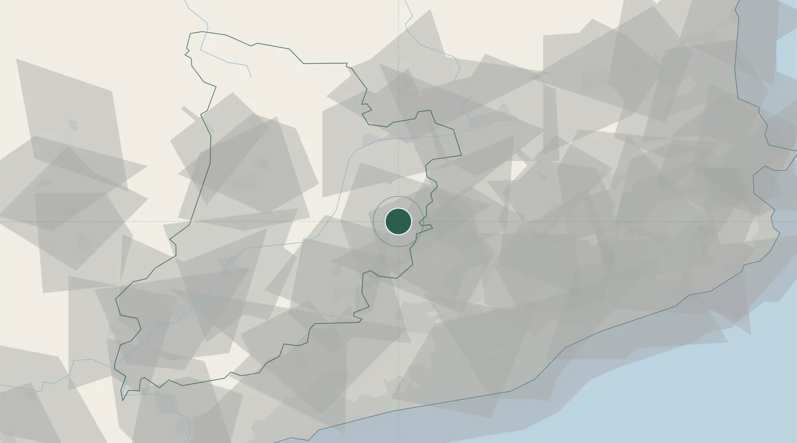
Hub Profile
Place type
District seat
Region
Catalonia
Population
632
Time zone
Europe/Madrid
Elevation
551 m
Location
Nearby Logistics Neighbours
Cities
- 1Sant Climens14 km
- 2Avia24 km
- 3Puig-reig25 km
- 4Suria25 km
- 5Gironella26 km
Ports
- 1Villanueva Y Geltru88 km
- 2Barcelona89 km
- 3Tarragona106 km
- 4San Feliu De Guixols124 km
- 5Palamos130 km
Airports
Trade Zones
- 1Zona Franca de Barcelona89 km
- 2Depósito Franco de Tarragona104 km
- 3ZFU Perpignan133 km
- 4ZFU Toulouse177 km
- 5Depósito Franco de Zaragoza198 km
DatabookThe Record of Consolidated Knowledge
Spain beyond logistics?