Transport Functions
Port
Road
Hub Profile
Place type
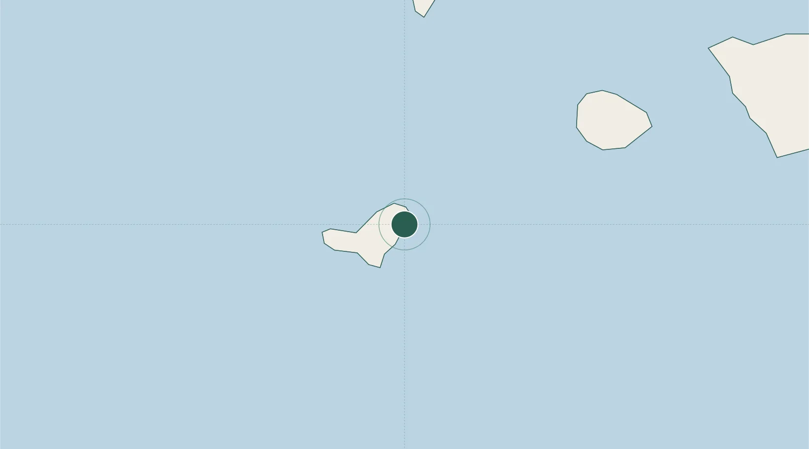
Populated place
Region
Canary Islands
Time zone
Atlantic/Canary
Location
Nearby Logistics Neighbours
Cities
- 1La Restinga20 km
- 2Puerto de Playa de Santiago74 km
- 3Villa de Mazo92 km
- 4Tazacorte95 km
- 5Breña Baja96 km
Ports
- 1Santa Cruz De La Palma101 km
- 2Santa Cruz De Tenerife180 km
- 3Las Palmas247 km
- 4Puerto Del Rosario405 km
- 5Arrecife447 km
Airports
- 1El Hierro Airport4 km
- 2La Gomera Airport73 km
- 3La Palma Airport95 km
- 4Tenerife Sur Airport134 km
- 5Tenerife Norte-Ciudad de La Laguna Airport172 km
Trade Zones
DatabookThe Record of Consolidated Knowledge
Spain beyond logistics?