Transport Functions
Multimodal
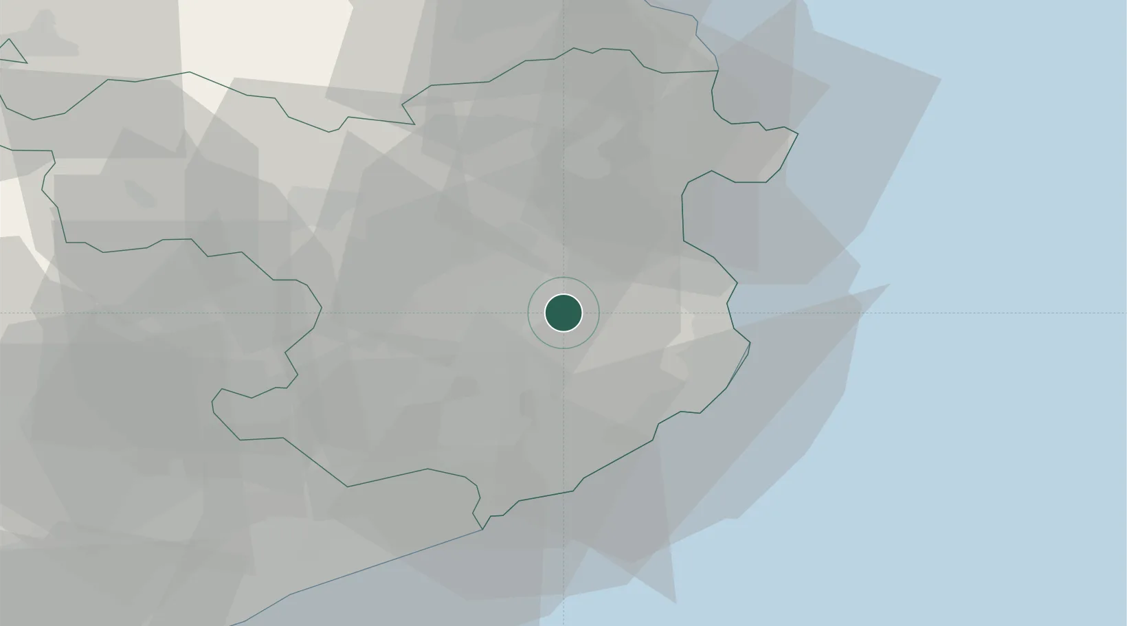
Location
Nearby Logistics Neighbours
Cities
- 1Bordils4 km
- 2San Julián de Ramis6 km
- 3Sant Julia de Ramis6 km
- 4Corca8 km
- 5Gerona (Girona)9 km
Ports
- 1Palamos26 km
- 2San Feliu De Guixols28 km
- 3Rosas35 km
- 4Port-Vendres58 km
- 5Barcelona97 km
Airports
Trade Zones
- 1ZFU Perpignan76 km
- 2Zona Franca de Barcelona101 km
- 3ZFU Béziers149 km
- 4Depósito Franco de Tarragona171 km
- 5ZFU Montpellier192 km
DatabookThe Record of Consolidated Knowledge
Spain beyond logistics?