UN/LOCODE hub · Spain
ESFBM

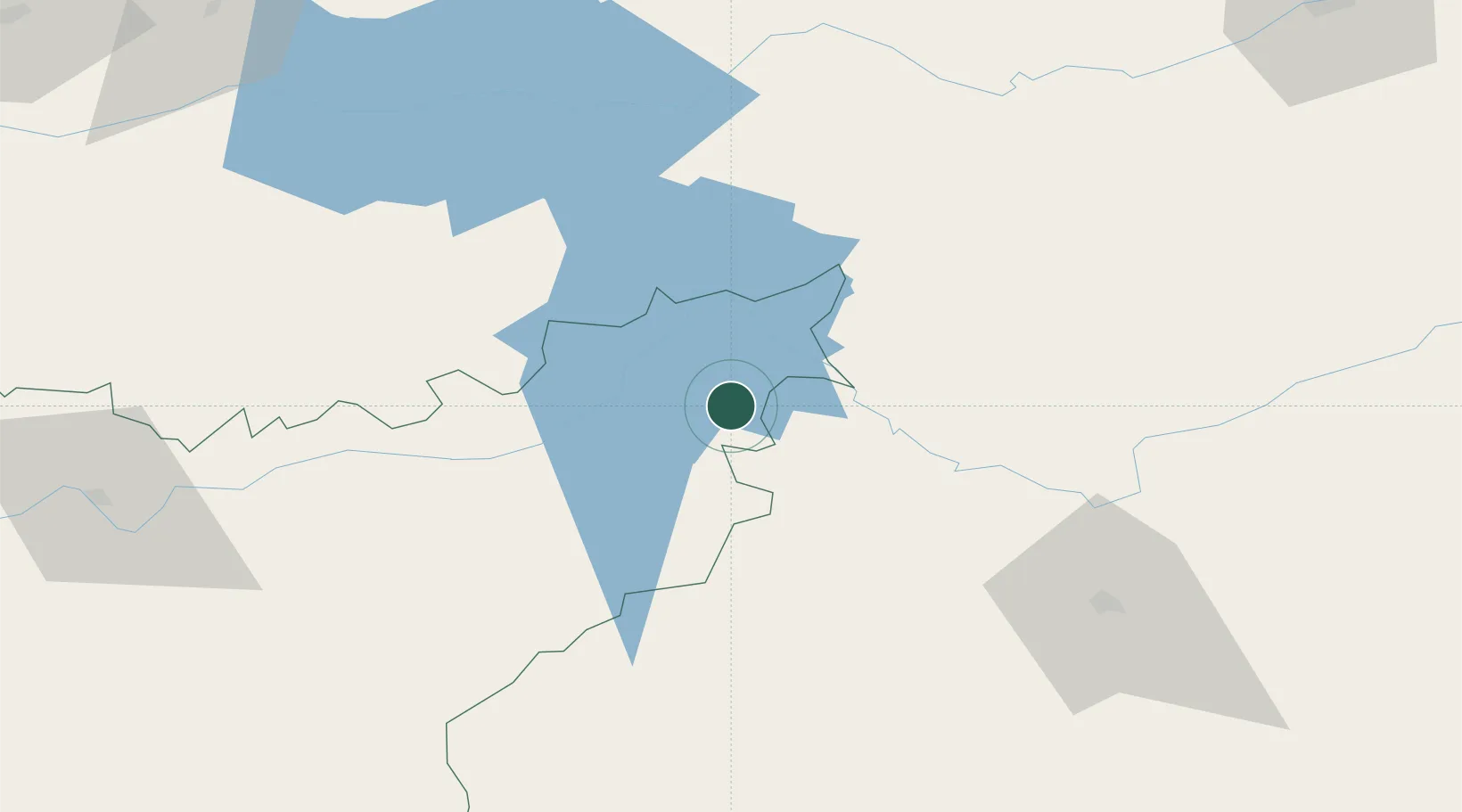
Fuenlabrada de Los Montes

39.1333°, -4.9333°
1,929
Population
1
Transport functions

Transport Functions

Multimodal
UN/LOCODE

Hub Profile

Place type
District seat
GeoNames
Region
Extremadura
GeoNames
Population
1,929
GeoNames
Time zone
Europe/Madrid
GeoNames
Elevation
539 m
GeoNames

Location

Location of ESFBM
Natural Earth 10m (public domain) · Extremadura · ESFBM · 39.13, -4.93GoogleOSMYandex

Nearby Logistics Neighbours

Cities
  1. 1Valdecaballeros25 km
  2. 2Talarrubias28 km
  3. 3La Puebla de Alcocer32 km
  4. 4Casas de Don Pedro33 km
  5. 5Peñalsordo39 km
Nearest neighbours — logibook spatial index (haversine) over the source coordinates
Ports
  1. 1Sevilla217 km
  2. 2Malaga273 km
  3. 3Huelva274 km
  4. 4Motril293 km
  5. 5Rota306 km
Nearest neighbours — logibook spatial index (haversine) over the source coordinates
Airports
  1. 1Ciudad Real International Airport89 km
  2. 2Córdoba Airport144 km
  3. 3Badajoz Airport165 km
  4. 4Getafe Air Base165 km
  5. 5Madrid-Cuatro Vientos Airport169 km
Nearest neighbours — logibook spatial index (haversine) over the source coordinates
Trade Zones
  1. 1Depósito Franco de Madrid-Aeropuerto187 km
  2. 2Zona Franca de Sevilla221 km
  3. 3Depósito Franco de Málaga235 km
  4. 4Puerto de Huelva274 km
  5. 5Zona Franca de Cádiz315 km
Nearest neighbours — logibook spatial index (haversine) over the source coordinates
DatabookThe Record of Consolidated Knowledge
Spain beyond logistics?
Browse databook

All Sources

LocationsUN/LOCODE
UN/LOCODE — free
LocationsGeoNames
CC BY 4.0
Portsthe NGA World Port Index
Public domain (US gov)
AirportsOurAirports
Public domain
Trade Zonesthe World Bank SEZ database
CC BY 4.0
Trade ZonesOpen Zone Map
CC BY
← Spain locations