Transport Functions
Rail
Road
Hub Profile
Place type
Populated place
Region
Extremadura
Population
5,921
Time zone
Europe/Madrid
Elevation
470 m
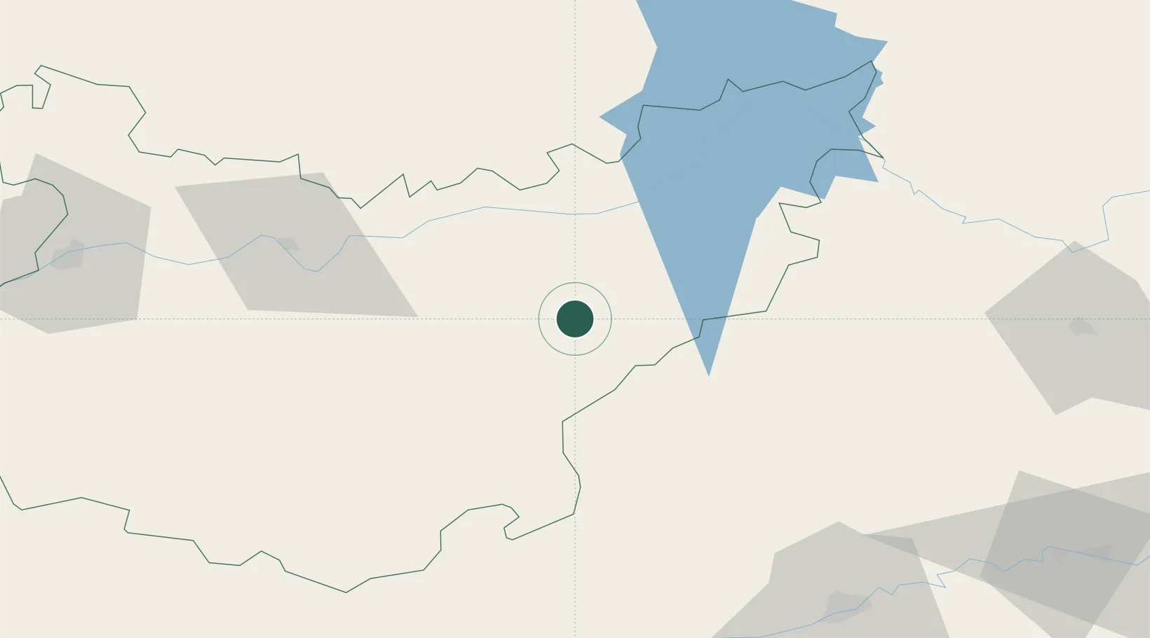
Location
Nearby Logistics Neighbours
Cities
- 1Monterrubio de la Serena17 km
- 2La Coronada25 km
- 3Magacela27 km
- 4Orellana la Vieja32 km
- 5La Haba32 km
Ports
- 1Sevilla156 km
- 2Huelva205 km
- 3Vila Real De S Antonio236 km
- 4Malaga243 km
- 5Rota244 km
Airports
- 1Badajoz Airport113 km
- 2Córdoba Airport114 km
- 3Ciudad Real International Airport136 km
- 4Madroñalejos Forest Fire fighting Heliport147 km
- 5Seville Airport148 km
Trade Zones
- 1Zona Franca de Sevilla159 km
- 2Puerto de Huelva205 km
- 3Depósito Franco de Málaga206 km
- 4Zona Franca de Cádiz255 km
- 5Depósito Franco de Madrid-Aeropuerto256 km
DatabookThe Record of Consolidated Knowledge
Spain beyond logistics?