Seaport · Spain
SaguntoESSAG
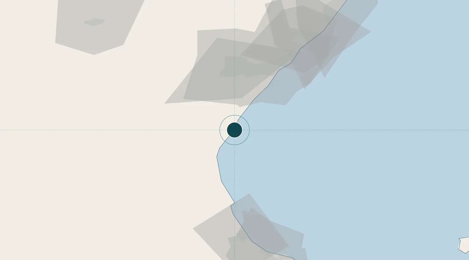
39.6500°, -0.2167°
7.9 m
Channel depth
1
Container terminals
38.7
Port liner connectivity
Channel & Berth Profile
Pilotage, Tugs & Services
Pilotage compulsoryYES
Tug assistanceYES
Salvage tugsNO
Potable waterYES
Diesel bunkersYES
MedicalYES
Facilities & Capabilities
Container—
Ro-Ro—
Liquid bulk—
Dry bulk—
Oil terminal—
Break bulk—
Dry dock—
RepairsNO
BunkeringYES
Rail linkYES
Dangerous cargo—
ISPS security—
Harbour Specifications
Harbour size
Very Small
Harbour type
Coastal (Breakwater)
Shelter
Fair
Water body
Balearic Sea; Mediterranean Sea; North Atlantic Ocean
Overhead limit
No
Pilotage
Yes
Liner Connectivity
38.7
PLSCI
Port Liner Shipping Connectivity Index for Sagunto, as published by UNCTAD for the latest available quarter. Higher values indicate stronger scheduled liner-shipping integration.
Shown relative to the highest per-port PLSCI in the dataset (1,657.9).
Location
Container Terminals · 1
INTERSAGUNTO TERMINALES, S.A.
INTERS
Nearby Logistics Neighbours
Ports
- 1Valencia24 km
- 2Burriana30 km
- 3El Grao41 km
- 4Puerto De Gandia73 km
- 5Alicante148 km
Cities
- 1Puerto de Sagunto0 km
- 2Masamagrell14 km
- 3Meliana16 km
- 4Serra19 km
- 5Almassera20 km
Airports
Trade Zones
- 1Depósito Franco de Valencia24 km
- 2Depósito Franco de Alicante148 km
- 3Depósito Franco de Tarragona205 km
- 4Depósito Franco de Zaragoza226 km
- 5Zona Franca de Barcelona272 km
DatabookThe Record of Consolidated Knowledge
Spain beyond logistics?