Transport Functions
Multimodal
Hub Profile
Place type
District seat
Region
Extremadura
Population
2,204
Time zone
Europe/Madrid
Elevation
473 m
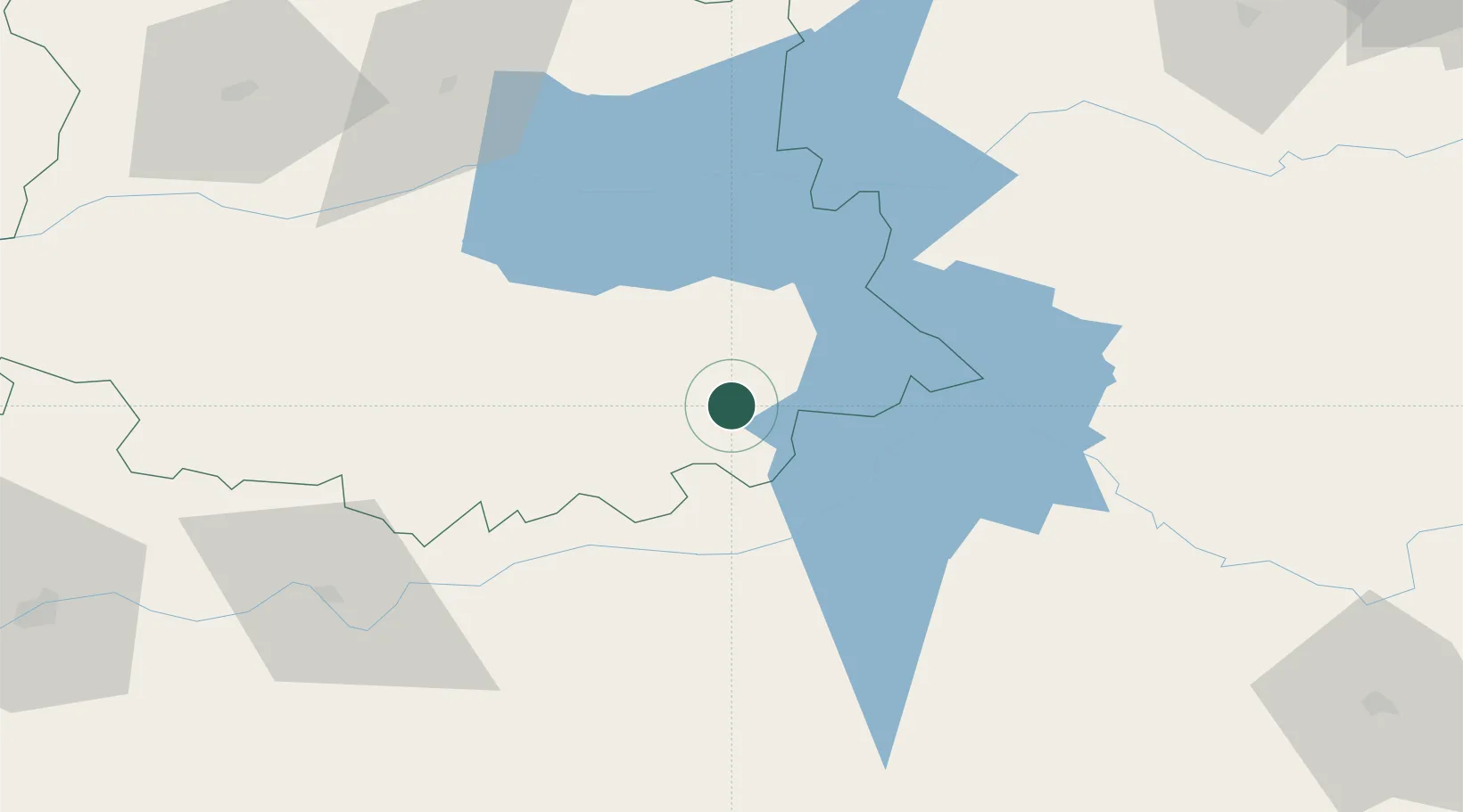
Location
Nearby Logistics Neighbours
Cities
- 1Guadalupe19 km
- 2Zorita20 km
- 3Alia26 km
- 4Valdecaballeros27 km
- 5Casas de Don Pedro30 km
Ports
- 1Sevilla223 km
- 2Huelva265 km
- 3Vila Real De S Antonio292 km
- 4Figueira Da Foz302 km
- 5Malaga306 km
Airports
- 1Badajoz Airport126 km
- 2Ciudad Real International Airport141 km
- 3Córdoba Airport175 km
- 4Aerodromo de Castelo Branco177 km
- 5Salamanca Airport180 km
Trade Zones
- 1Depósito Franco de Madrid-Aeropuerto205 km
- 2Zona Franca de Sevilla227 km
- 3Puerto de Huelva264 km
- 4Depósito Franco de Málaga268 km
- 5VGP Park Santa Maria da Feira317 km
DatabookThe Record of Consolidated Knowledge
Spain beyond logistics?