Transport Functions
Rail
Road
Hub Profile
Place type
District seat
Region
Catalonia
Population
19,615
Time zone
Europe/Madrid
Elevation
170 m
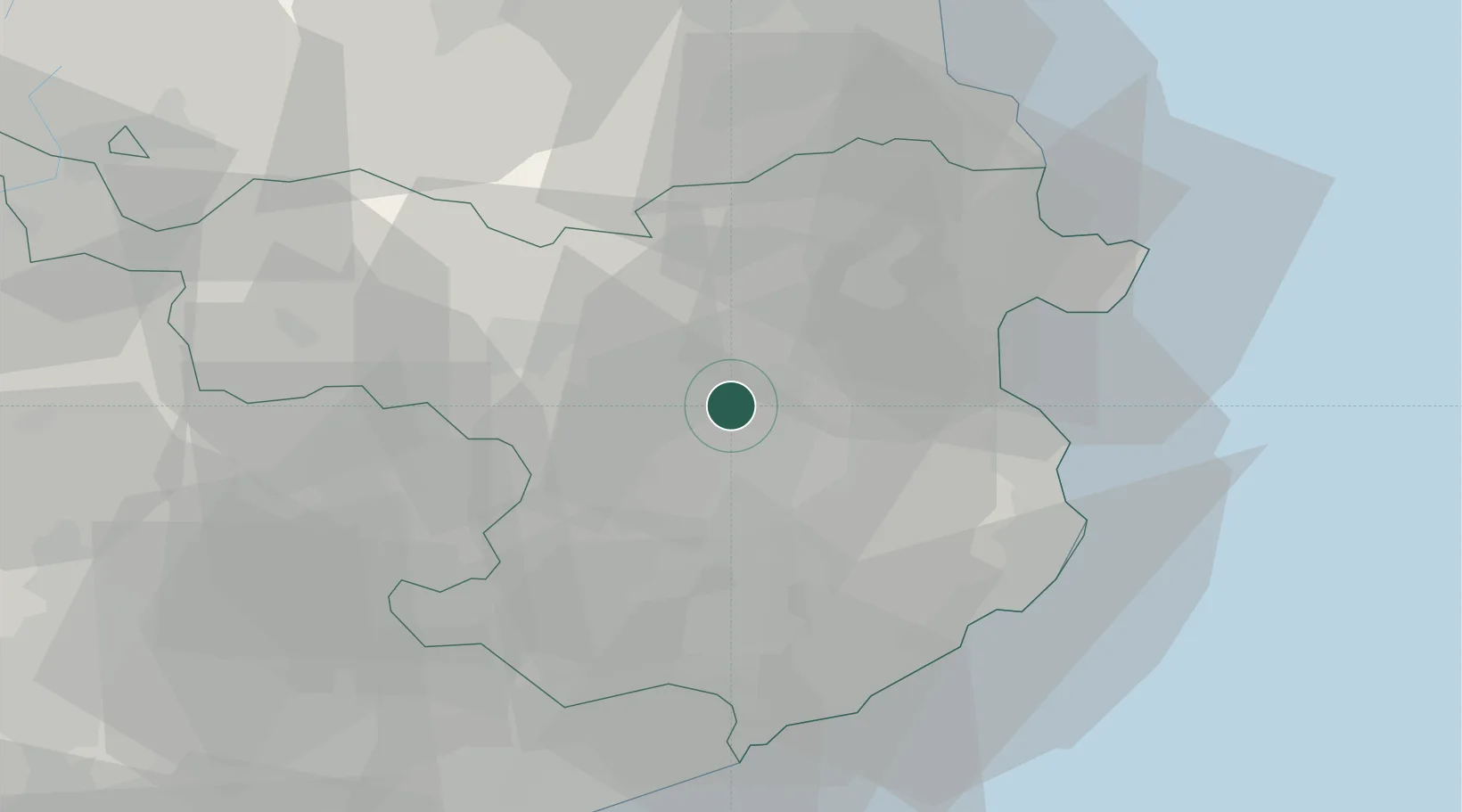
Location
Nearby Logistics Neighbours
Cities
- 1San Julián de Ramis13 km
- 2Sant Julia de Ramis13 km
- 3Sant Esteve de Llemena14 km
- 4Bordils14 km
- 5Argelaguer15 km
Ports
- 1Rosas38 km
- 2Palamos43 km
- 3San Feliu De Guixols43 km
- 4Port-Vendres53 km
- 5Barcelona99 km
Airports
Trade Zones
- 1ZFU Perpignan66 km
- 2Zona Franca de Barcelona102 km
- 3ZFU Béziers140 km
- 4Depósito Franco de Tarragona168 km
- 5ZFU Montpellier188 km
DatabookThe Record of Consolidated Knowledge
Spain beyond logistics?