Transport Functions
Multimodal
Hub Profile
Place type
District seat
Region
Catalonia
Time zone
Europe/Madrid
Elevation
165 m
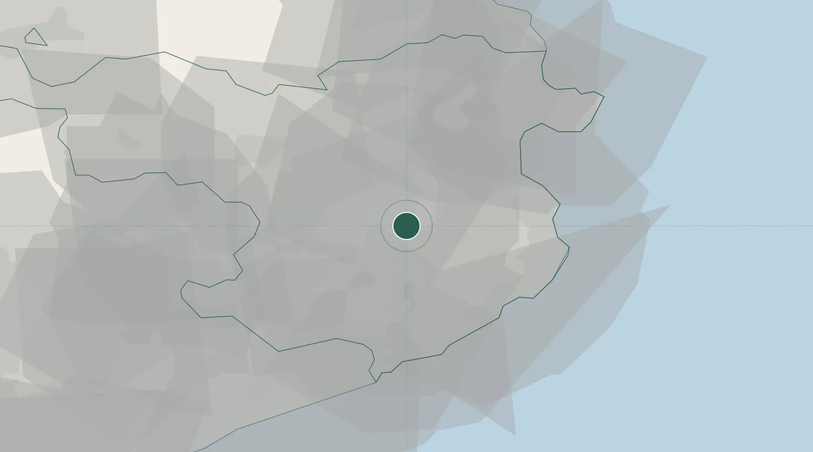
Location
Nearby Logistics Neighbours
Cities
- 1San Julián de Ramis0 km
- 2Gerona (Girona)5 km
- 3Fontcoberta5 km
- 4Juya6 km
- 5Bordils7 km
Ports
- 1Palamos30 km
- 2San Feliu De Guixols30 km
- 3Rosas39 km
- 4Port-Vendres60 km
- 5Barcelona93 km
Airports
Trade Zones
- 1ZFU Perpignan76 km
- 2Zona Franca de Barcelona97 km
- 3ZFU Béziers150 km
- 4Depósito Franco de Tarragona167 km
- 5ZFU Montpellier194 km
DatabookThe Record of Consolidated Knowledge
Spain beyond logistics?