Transport Functions
Port
Hub Profile
Place type
District seat
Region
Catalonia
Population
371
Time zone
Europe/Madrid
Elevation
189 m
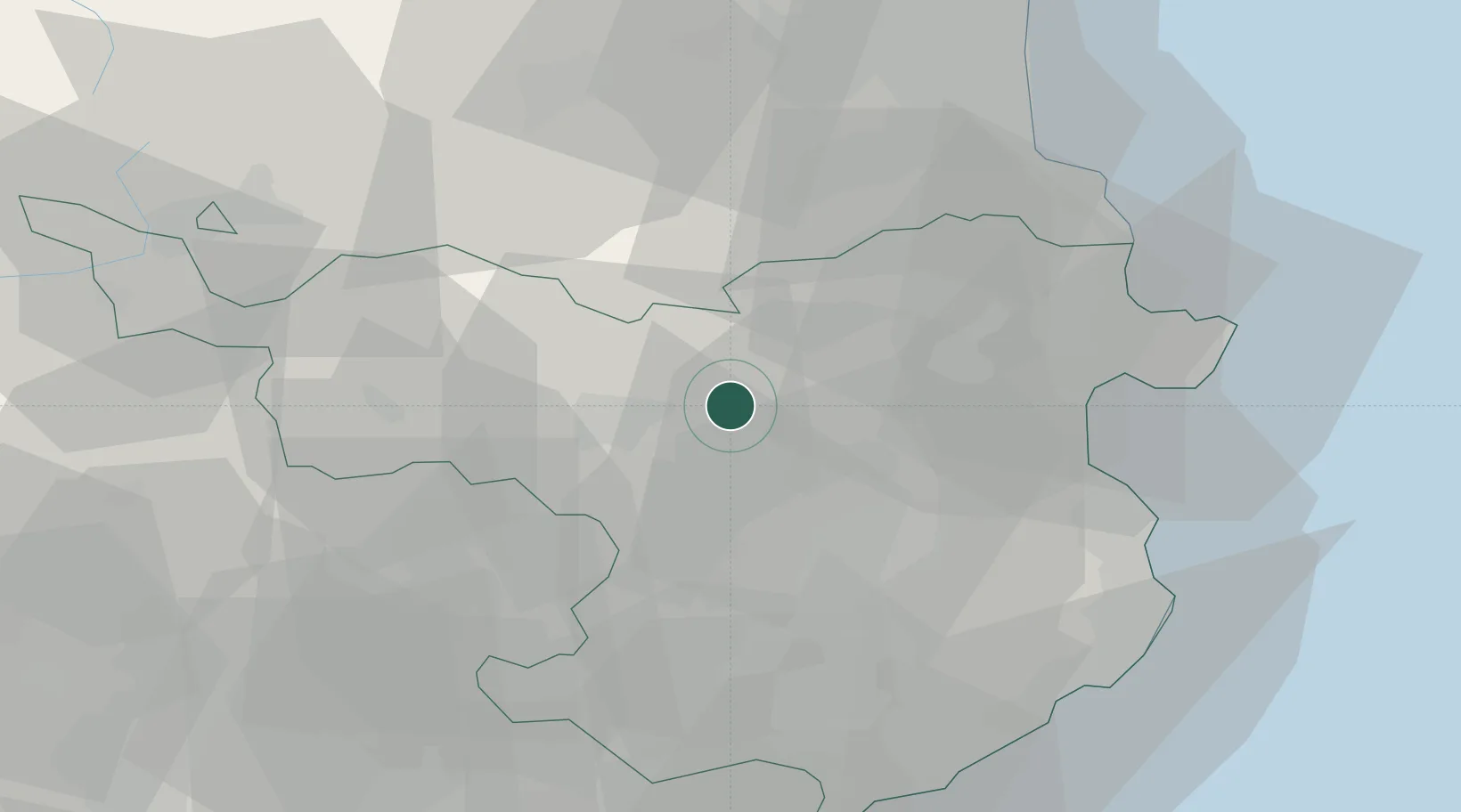
Location
Nearby Logistics Neighbours
Cities
- 1Sant Jaume Llierca3 km
- 2Castellfollit de la Roca8 km
- 3Banyoles15 km
- 4Sant Aniol de Finestres17 km
- 5Sant Esteve de Llemena19 km
Ports
- 1Rosas44 km
- 2Port-Vendres51 km
- 3Palamos58 km
- 4San Feliu De Guixols58 km
- 5Port-La-Nouvelle95 km
Airports
Trade Zones
- 1ZFU Perpignan57 km
- 2Zona Franca de Barcelona107 km
- 3ZFU Béziers133 km
- 4Depósito Franco de Tarragona169 km
- 5ZFU Montpellier183 km
DatabookThe Record of Consolidated Knowledge
Spain beyond logistics?