Transport Functions
Multimodal
Hub Profile
Place type
Populated place
Region
Catalonia
Time zone
Europe/Madrid
Elevation
317 m
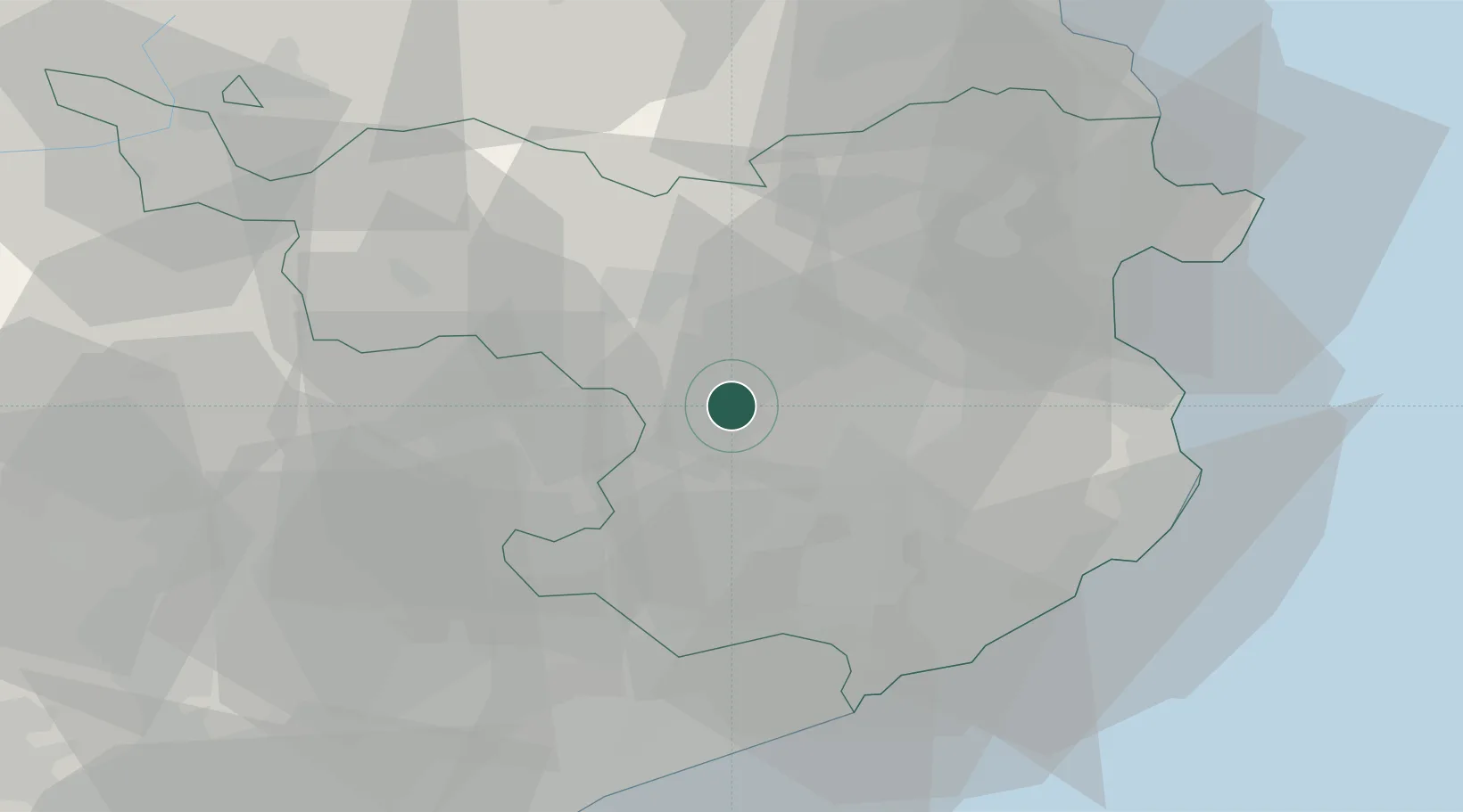
Location
Nearby Logistics Neighbours
Cities
- 1Sant Aniol de Finestres2 km
- 2Amer4 km
- 3Angles12 km
- 4Banyoles14 km
- 5Les Preses17 km
Ports
- 1San Feliu De Guixols46 km
- 2Palamos48 km
- 3Rosas53 km
- 4Port-Vendres66 km
- 5Barcelona86 km
Airports
Trade Zones
- 1ZFU Perpignan76 km
- 2Zona Franca de Barcelona89 km
- 3ZFU Béziers151 km
- 4Depósito Franco de Tarragona154 km
- 5ZFU Toulouse198 km
DatabookThe Record of Consolidated Knowledge
Spain beyond logistics?