Transport Functions
Multimodal
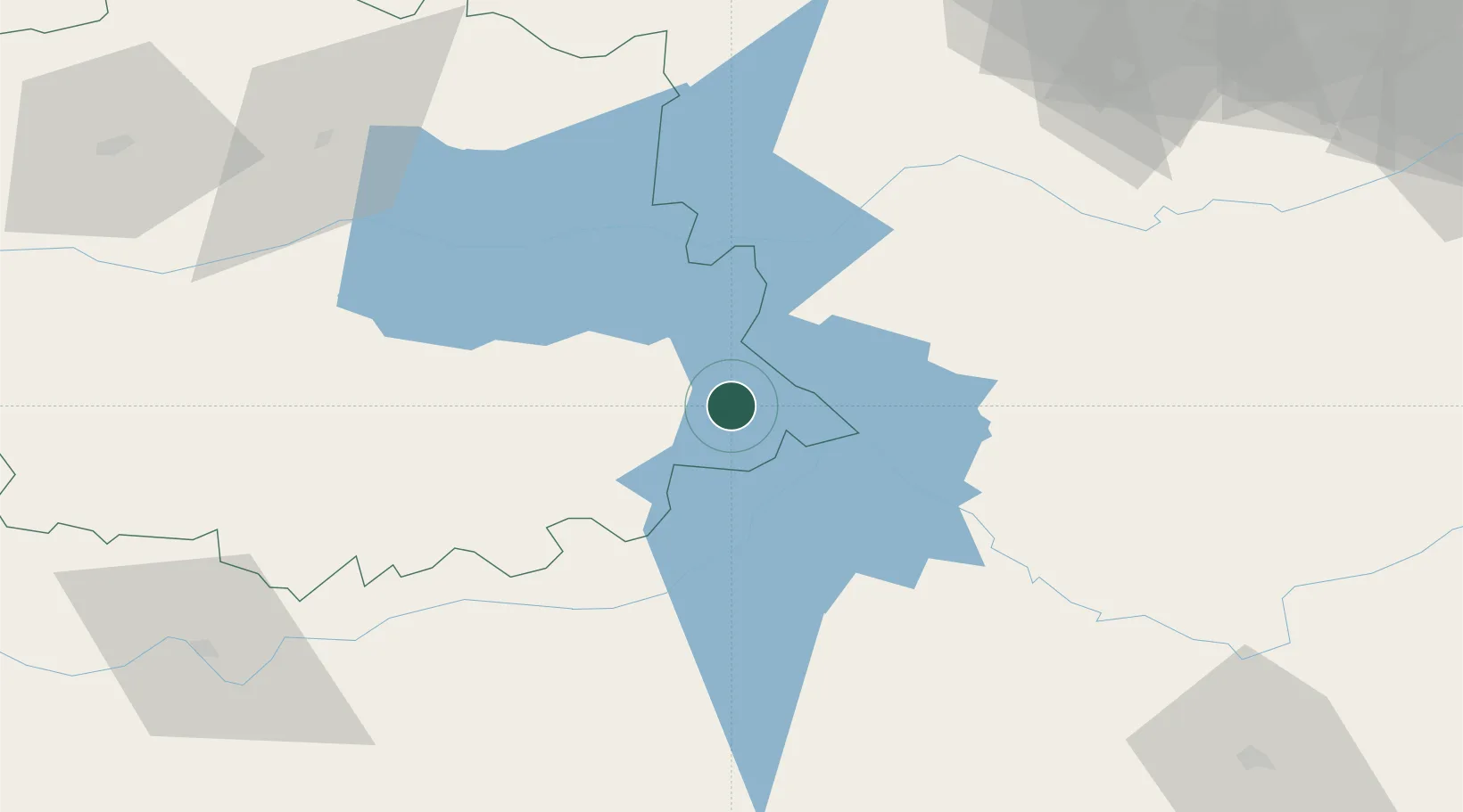
Hub Profile
Place type
District seat
Region
Extremadura
Population
1,169
Time zone
Europe/Madrid
Elevation
576 m
Location
Nearby Logistics Neighbours
Cities
- 1Guadalupe9 km
- 2Valdecaballeros22 km
- 3Logrosan26 km
- 4Casas de Don Pedro40 km
- 5Fuenlabrada de Los Montes43 km
Ports
- 1Sevilla242 km
- 2Huelva288 km
- 3Malaga312 km
- 4Vila Real De S Antonio316 km
- 5Figueira Da Foz320 km
Airports
- 1Ciudad Real International Airport126 km
- 2Badajoz Airport152 km
- 3Getafe Air Base158 km
- 4Madrid-Cuatro Vientos Airport159 km
- 5Salamanca Airport169 km
Trade Zones
- 1Depósito Franco de Madrid-Aeropuerto179 km
- 2Zona Franca de Sevilla245 km
- 3Depósito Franco de Málaga274 km
- 4Puerto de Huelva287 km
- 5VGP Park Santa Maria da Feira329 km
DatabookThe Record of Consolidated Knowledge
Spain beyond logistics?