Transport Functions
Multimodal
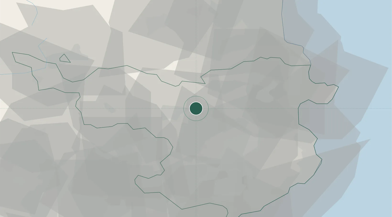
Location
Nearby Logistics Neighbours
Cities
- 1Argelaguer3 km
- 2Castellfollit de la Roca6 km
- 3Les Preses17 km
- 4Banyoles17 km
- 5Sant Aniol de Finestres17 km
Ports
- 1Rosas47 km
- 2Port-Vendres53 km
- 3San Feliu De Guixols59 km
- 4Palamos59 km
- 5Port-La-Nouvelle96 km
Airports
Trade Zones
- 1ZFU Perpignan58 km
- 2Zona Franca de Barcelona106 km
- 3ZFU Béziers134 km
- 4Depósito Franco de Tarragona167 km
- 5ZFU Toulouse182 km
DatabookThe Record of Consolidated Knowledge
Spain beyond logistics?