UN/LOCODE hub · Spain
ESZFD

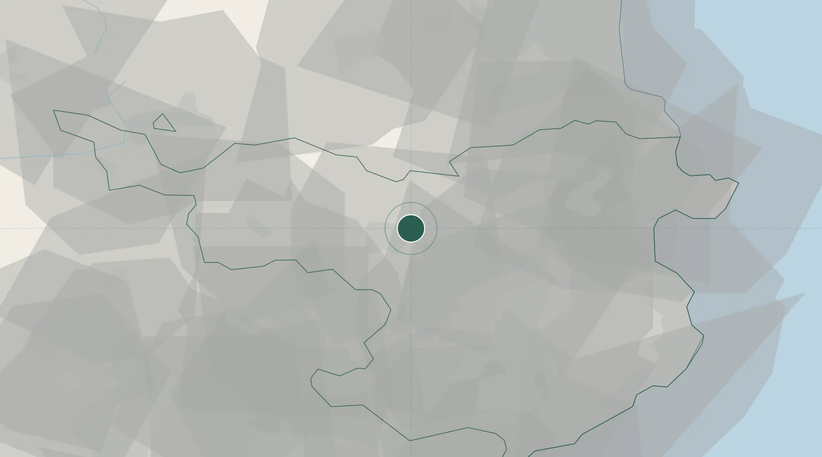
Castellfollit de la Roca

42.2167°, 2.5500°
964
Population
1
Transport functions

Transport Functions

Multimodal
UN/LOCODE

Hub Profile

Place type
Populated place
GeoNames
Region
Catalonia
GeoNames
Population
964
GeoNames
Time zone
Europe/Madrid
GeoNames
Elevation
302 m
GeoNames

Location

Location of ESZFD
Natural Earth 10m (public domain) · Catalonia · ESZFD · 42.22, 2.55GoogleOSMYandex

Nearby Logistics Neighbours

Cities
  1. 1Sant Jaume Llierca6 km
  2. 2Argelaguer8 km
  3. 3Les Preses12 km
  4. 4Sant Aniol de Finestres17 km
  5. 5Sant Esteve de Llemena19 km
Nearest neighbours — logibook spatial index (haversine) over the source coordinates
Ports
  1. 1Rosas52 km
  2. 2Port-Vendres57 km
  3. 3San Feliu De Guixols63 km
  4. 4Palamos63 km
  5. 5Port-La-Nouvelle99 km
Nearest neighbours — logibook spatial index (haversine) over the source coordinates
Airports
  1. 1Folgueroles Airfield36 km
  2. 2Girona-Costa Brava Airport39 km
  3. 3Perpignan-Rivesaltes (Llabanère) Airport64 km
  4. 4Pirineus - la Seu d'Urgel Airport95 km
  5. 5Josep Tarradellas Barcelona-El Prat Airport110 km
Nearest neighbours — logibook spatial index (haversine) over the source coordinates
Trade Zones
  1. 1ZFU Perpignan61 km
  2. 2Zona Franca de Barcelona104 km
  3. 3ZFU Béziers136 km
  4. 4Depósito Franco de Tarragona163 km
  5. 5ZFU Toulouse179 km
Nearest neighbours — logibook spatial index (haversine) over the source coordinates
DatabookThe Record of Consolidated Knowledge
Spain beyond logistics?
Browse databook

All Sources

LocationsUN/LOCODE
UN/LOCODE — free
LocationsGeoNames
CC BY 4.0
Portsthe NGA World Port Index
Public domain (US gov)
AirportsOurAirports
Public domain
Trade Zonesthe World Bank SEZ database
CC BY 4.0
Trade ZonesOpen Zone Map
CC BY
← Spain locations