Transport Functions
Port
Hub Profile
Region
74
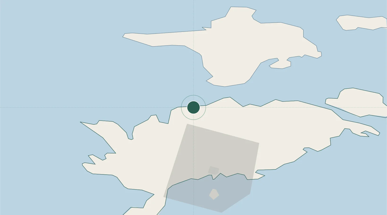
Location
Nearby Logistics Neighbours
Cities
- 1Saaremaa sadam11 km
- 2Soela12 km
- 3Sõru Väikelaevasadam15 km
- 4Sõru15 km
- 5Tärkma16 km
Ports
- 1Saaremaa sadam11 km
- 2Roomassaare41 km
- 3Heltermaa49 km
- 4Virtsu64 km
- 5Rohukula69 km
Airports
- 1Kuressaare Airport40 km
- 2Kärdla Airport52 km
- 3Ruhnu Airfield102 km
- 4Pärnu Airport122 km
- 5Ämari Air Base128 km
Trade Zones
- 1Paldiski Free Zone127 km
- 2Freeport of Hanko141 km
- 3Free port of Ventspils141 km
- 4Muuga Free Zone169 km
- 5Free Port of Riga207 km
DatabookThe Record of Consolidated Knowledge
Estonia beyond logistics?