UN/LOCODE hub · Estonia
EESRV

Sõru Väikelaevasadam

58.7000°, 22.5167°
1
Transport functions

Transport Functions

Port
UN/LOCODE

Hub Profile

Region
39
GeoNames

Location

Location of EESRV
Natural Earth 10m (public domain) · 39 · EESRV · 58.70, 22.52GoogleOSMYandex

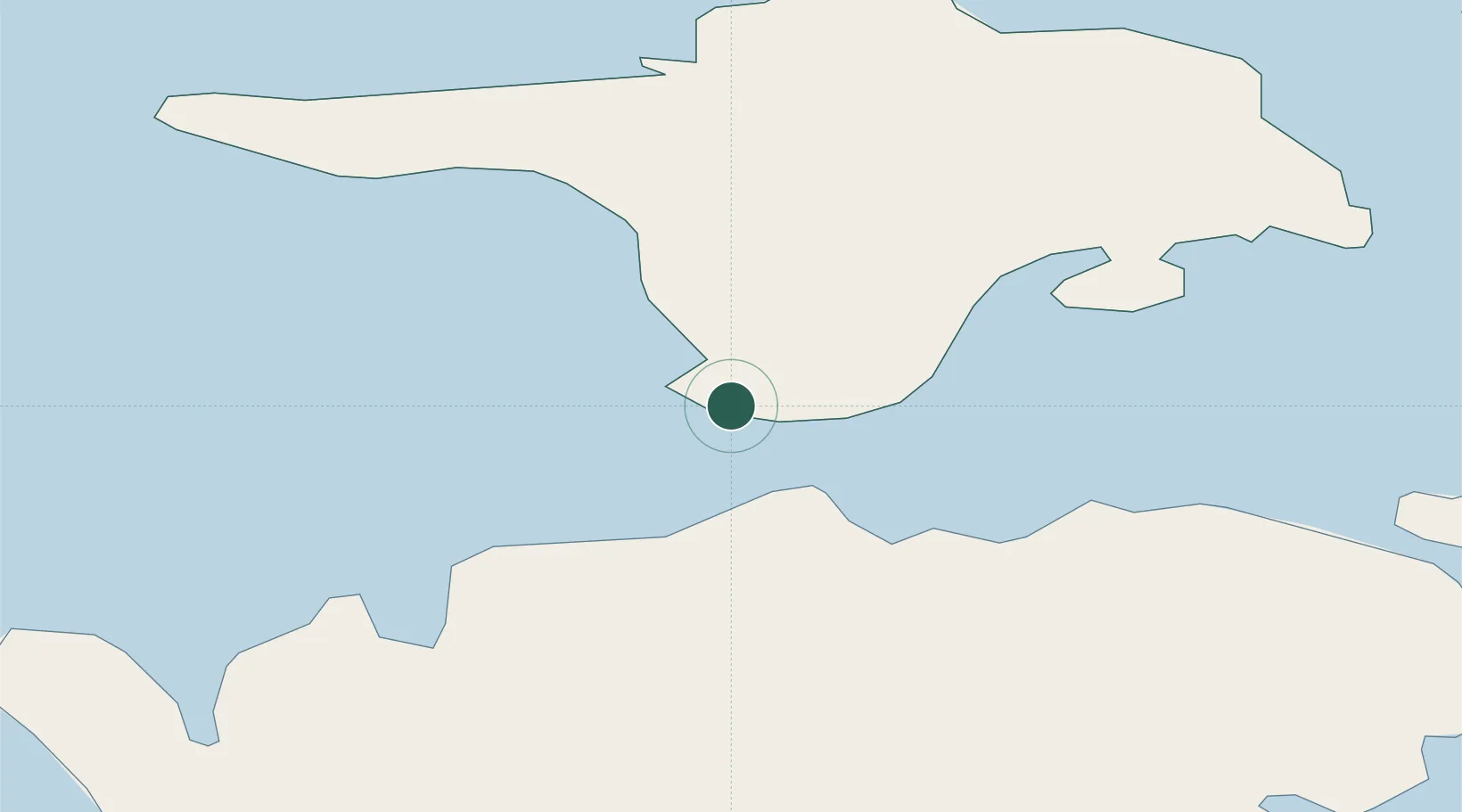
Nearby Logistics Neighbours

Cities
  1. 1Sõru1 km
  2. 2Tärkma5 km
  3. 3Soela10 km
  4. 4Haldi12 km
  5. 5Varese Sadam15 km
Nearest neighbours — logibook spatial index (haversine) over the source coordinates
Ports
  1. 1Saaremaa sadam24 km
  2. 2Heltermaa36 km
  3. 3Roomassaare54 km
  4. 4Rohukula57 km
  5. 5Virtsu59 km
Nearest neighbours — logibook spatial index (haversine) over the source coordinates
Airports
  1. 1Kärdla Airport37 km
  2. 2Kuressaare Airport52 km
  3. 3Ruhnu Airfield111 km
  4. 4Ämari Air Base115 km
  5. 5Pärnu Airport118 km
Nearest neighbours — logibook spatial index (haversine) over the source coordinates
Trade Zones
  1. 1Paldiski Free Zone114 km
  2. 2Freeport of Hanko127 km
  3. 3Free port of Ventspils156 km
  4. 4Muuga Free Zone157 km
  5. 5Turku Free Zone195 km
Nearest neighbours — logibook spatial index (haversine) over the source coordinates
DatabookThe Record of Consolidated Knowledge
Estonia beyond logistics?
Browse databook

All Sources

LocationsUN/LOCODE
UN/LOCODE — free
Portsthe NGA World Port Index
Public domain (US gov)
AirportsOurAirports
Public domain
Trade Zonesthe World Bank SEZ database
CC BY 4.0
Trade ZonesOpen Zone Map
CC BY
← Estonia locations