Transport Functions
Port
Hub Profile
Place type
Populated place
Region
Saare
Time zone
Europe/Tallinn
Elevation
12 m
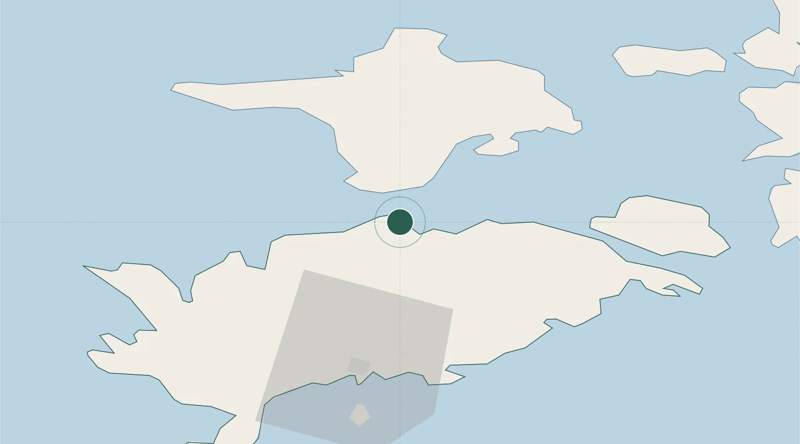
Location
Nearby Logistics Neighbours
Cities
- 1Triigi7 km
- 2Tärkma7 km
- 3Sõru10 km
- 4Sõru Väikelaevasadam10 km
- 5Varese Sadam12 km
Ports
- 1Saaremaa sadam23 km
- 2Heltermaa38 km
- 3Roomassaare45 km
- 4Virtsu53 km
- 5Rohukula57 km
Airports
- 1Kuressaare Airport43 km
- 2Kärdla Airport44 km
- 3Ruhnu Airfield100 km
- 4Pärnu Airport111 km
- 5Ämari Air Base117 km
Trade Zones
- 1Paldiski Free Zone116 km
- 2Freeport of Hanko136 km
- 3Free port of Ventspils149 km
- 4Muuga Free Zone158 km
- 5Turku Free Zone204 km
DatabookThe Record of Consolidated Knowledge
Estonia beyond logistics?