Transport Functions
Port
Border Crossing
Hub Profile
Place type
Populated place
Region
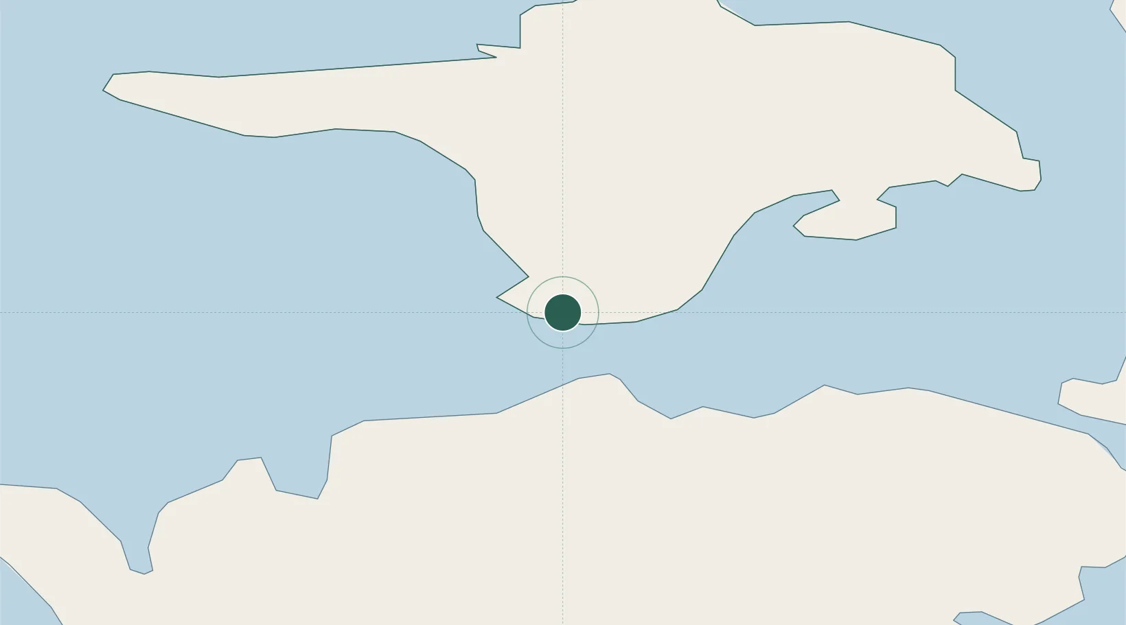
Hiiumaa
Population
10
Time zone
Europe/Tallinn
Elevation
8 m
Location
Nearby Logistics Neighbours
Cities
- 1Sõru Väikelaevasadam1 km
- 2Tärkma4 km
- 3Soela10 km
- 4Haldi12 km
- 5Varese Sadam15 km
Ports
- 1Saaremaa sadam25 km
- 2Heltermaa35 km
- 3Roomassaare54 km
- 4Rohukula56 km
- 5Virtsu58 km
Airports
- 1Kärdla Airport37 km
- 2Kuressaare Airport52 km
- 3Ruhnu Airfield110 km
- 4Ämari Air Base114 km
- 5Pärnu Airport117 km
Trade Zones
- 1Paldiski Free Zone113 km
- 2Freeport of Hanko127 km
- 3Free port of Ventspils156 km
- 4Muuga Free Zone157 km
- 5Turku Free Zone195 km
DatabookThe Record of Consolidated Knowledge
Estonia beyond logistics?