Transport Functions
Port
Hub Profile
Region
39
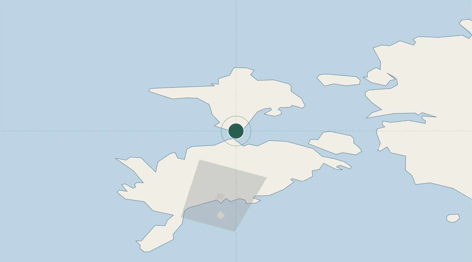
Location
Nearby Logistics Neighbours
Cities
- 1Sõru4 km
- 2Sõru Väikelaevasadam5 km
- 3Soela7 km
- 4Triigi12 km
- 5Orjaku15 km
Ports
- 1Saaremaa sadam27 km
- 2Heltermaa33 km
- 3Roomassaare52 km
- 4Rohukula54 km
- 5Virtsu54 km
Airports
- 1Kärdla Airport37 km
- 2Kuressaare Airport51 km
- 3Ruhnu Airfield107 km
- 4Ämari Air Base112 km
- 5Pärnu Airport113 km
Trade Zones
- 1Paldiski Free Zone111 km
- 2Freeport of Hanko129 km
- 3Muuga Free Zone154 km
- 4Free port of Ventspils156 km
- 5Turku Free Zone197 km
DatabookThe Record of Consolidated Knowledge
Estonia beyond logistics?