UN/LOCODE hub · Estonia
EEVRK

Võrkaia

58.6833°, 23.2000°
1
Transport functions

Transport Functions

Port
UN/LOCODE

Hub Profile

Region
74
GeoNames

Location

Location of EEVRK
Natural Earth 10m (public domain) · 74 · EEVRK · 58.68, 23.20GoogleOSMYandex

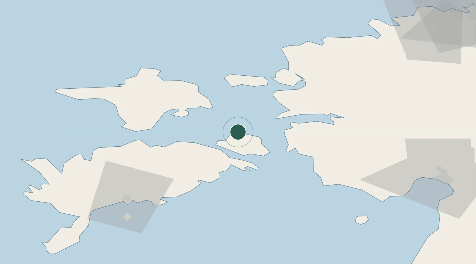
Nearby Logistics Neighbours

Cities
  1. 1Kallaste5 km
  2. 2Koguva12 km
  3. 3Orissaare14 km
  4. 4Kesse-Jaani16 km
  5. 5Taaliku Sadam16 km
Nearest neighbours — logibook spatial index (haversine) over the source coordinates
Ports
  1. 1Virtsu22 km
  2. 2Heltermaa22 km
  3. 3Rohukula28 km
  4. 4Saaremaa sadam58 km
  5. 5Roomassaare66 km
Nearest neighbours — logibook spatial index (haversine) over the source coordinates
Airports
  1. 1Kärdla Airport40 km
  2. 2Kuressaare Airport65 km
  3. 3Pärnu Airport80 km
  4. 4Ämari Air Base86 km
  5. 5Ruhnu Airfield100 km
Nearest neighbours — logibook spatial index (haversine) over the source coordinates
Trade Zones
  1. 1Paldiski Free Zone88 km
  2. 2Muuga Free Zone124 km
  3. 3Freeport of Hanko129 km
  4. 4Free port of Ventspils174 km
  5. 5Free Port of Riga199 km
Nearest neighbours — logibook spatial index (haversine) over the source coordinates
DatabookThe Record of Consolidated Knowledge
Estonia beyond logistics?
Browse databook

All Sources

LocationsUN/LOCODE
UN/LOCODE — free
Portsthe NGA World Port Index
Public domain (US gov)
AirportsOurAirports
Public domain
Trade Zonesthe World Bank SEZ database
CC BY 4.0
Trade ZonesOpen Zone Map
CC BY
← Estonia locations