Transport Functions
Port
Road
Hub Profile
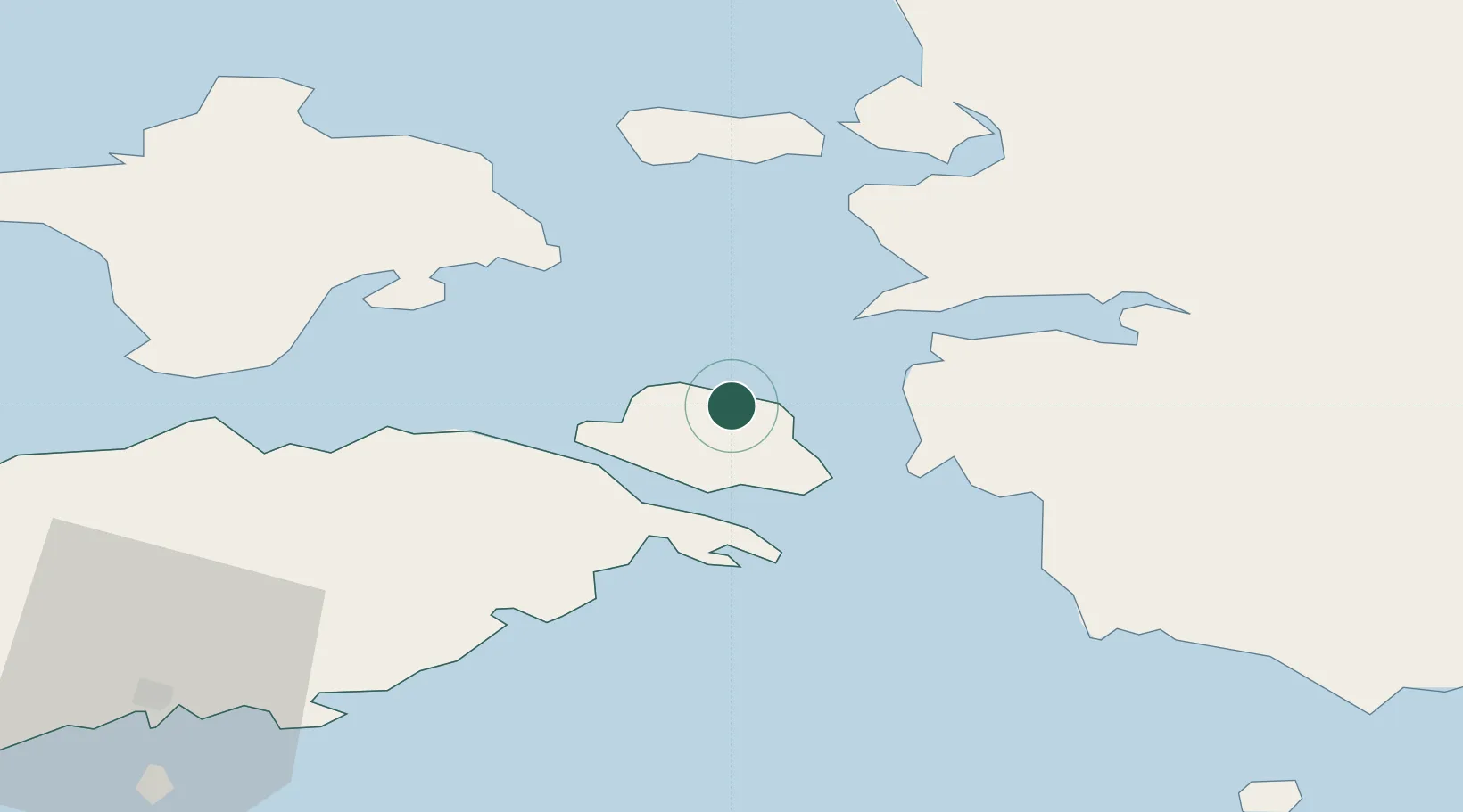
Place type
Populated place
Region
Saare
Time zone
Europe/Tallinn
Elevation
16 m
Location
Nearby Logistics Neighbours
Cities
- 1Võrkaia5 km
- 2Kesse-Jaani11 km
- 3Kuivastu12 km
- 4Koguva13 km
- 5Lõunaranna13 km
Ports
- 1Virtsu16 km
- 2Heltermaa27 km
- 3Rohukula30 km
- 4Saaremaa sadam61 km
- 5Roomassaare66 km
Airports
- 1Kärdla Airport46 km
- 2Kuressaare Airport64 km
- 3Pärnu Airport75 km
- 4Ämari Air Base87 km
- 5Ruhnu Airfield96 km
Trade Zones
- 1Paldiski Free Zone89 km
- 2Muuga Free Zone123 km
- 3Freeport of Hanko133 km
- 4Free port of Ventspils173 km
- 5Free Port of Riga195 km
DatabookThe Record of Consolidated Knowledge
Estonia beyond logistics?