UN/LOCODE hub · Estonia
EETAL

Taaliku Sadam

58.6000°, 22.9833°
1
Transport functions

Transport Functions

Port
UN/LOCODE

Hub Profile

Region
74
GeoNames

Location

Location of EETAL
Natural Earth 10m (public domain) · 74 · EETAL · 58.60, 22.98GoogleOSMYandex

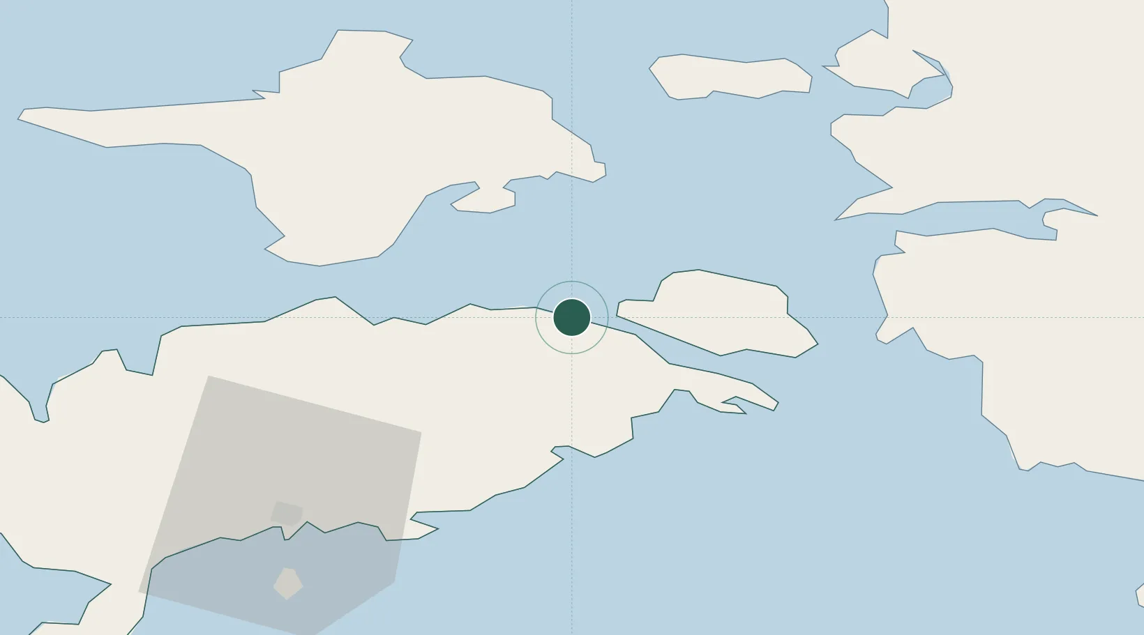
Nearby Logistics Neighbours

Cities
  1. 1Koguva5 km
  2. 2Orissaare8 km
  3. 3Uisusadam8 km
  4. 4Triigi15 km
  5. 5Võrkaia16 km
Nearest neighbours — logibook spatial index (haversine) over the source coordinates
Ports
  1. 1Heltermaa30 km
  2. 2Virtsu31 km
  3. 3Rohukula43 km
  4. 4Saaremaa sadam44 km
  5. 5Roomassaare51 km
Nearest neighbours — logibook spatial index (haversine) over the source coordinates
Airports
  1. 1Kärdla Airport44 km
  2. 2Kuressaare Airport50 km
  3. 3Pärnu Airport89 km
  4. 4Ruhnu Airfield92 km
  5. 5Ämari Air Base101 km
Nearest neighbours — logibook spatial index (haversine) over the source coordinates
Trade Zones
  1. 1Paldiski Free Zone103 km
  2. 2Freeport of Hanko137 km
  3. 3Muuga Free Zone140 km
  4. 4Free port of Ventspils159 km
  5. 5Free Port of Riga194 km
Nearest neighbours — logibook spatial index (haversine) over the source coordinates
DatabookThe Record of Consolidated Knowledge
Estonia beyond logistics?
Browse databook

All Sources

LocationsUN/LOCODE
UN/LOCODE — free
Portsthe NGA World Port Index
Public domain (US gov)
AirportsOurAirports
Public domain
Trade Zonesthe World Bank SEZ database
CC BY 4.0
Trade ZonesOpen Zone Map
CC BY
← Estonia locations