Transport Functions
Port
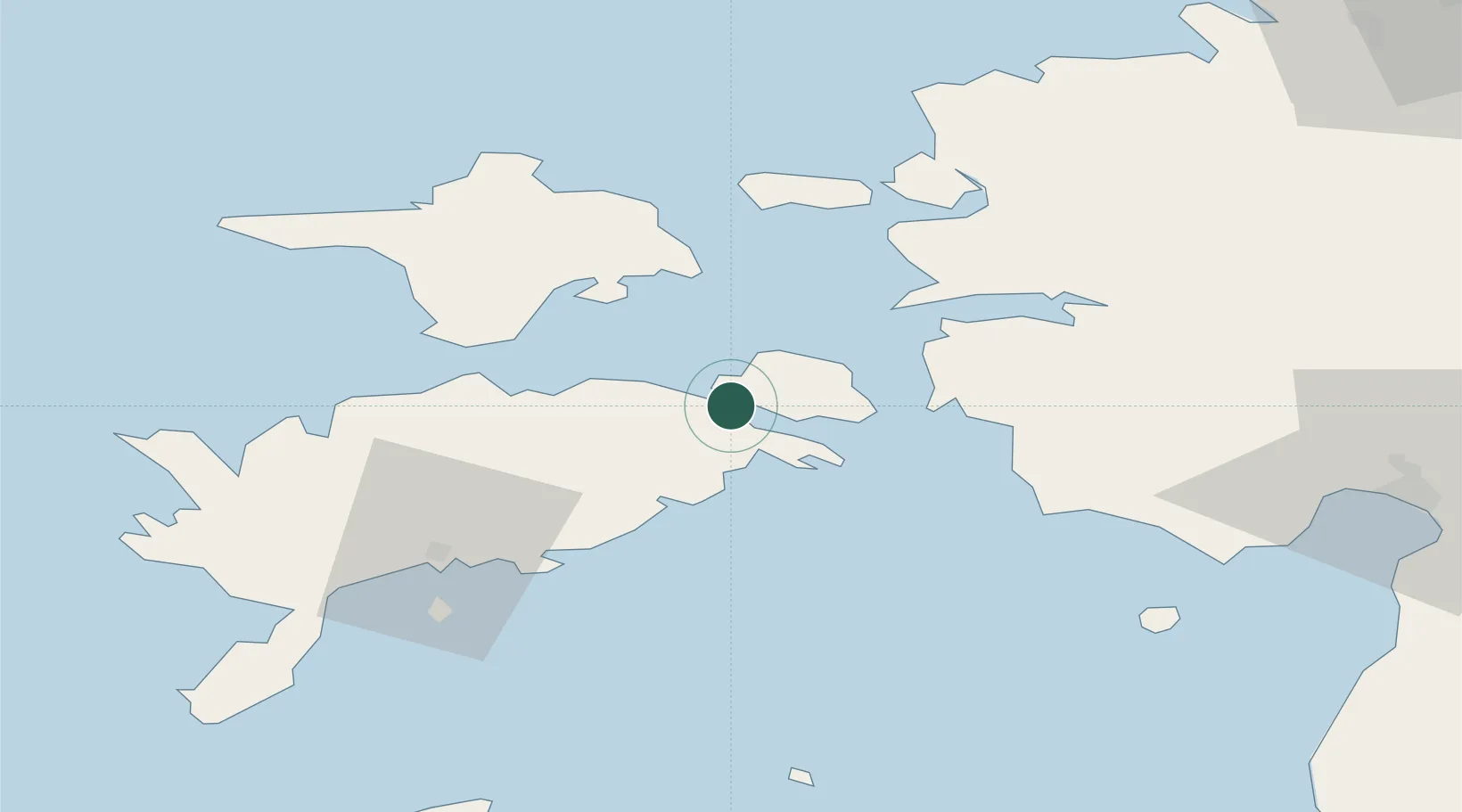
Hub Profile
Place type
Populated place
Region
Saare
Population
1,065
Time zone
Europe/Tallinn
Elevation
7 m
Location
Nearby Logistics Neighbours
Cities
- 1Uisusadam2 km
- 2Koguva4 km
- 3Taaliku Sadam8 km
- 4Valmeranna11 km
- 5Lõunaranna13 km
Ports
- 1Virtsu24 km
- 2Heltermaa34 km
- 3Rohukula42 km
- 4Saaremaa sadam50 km
- 5Roomassaare52 km
Airports
- 1Kärdla Airport50 km
- 2Kuressaare Airport51 km
- 3Pärnu Airport81 km
- 4Ruhnu Airfield87 km
- 5Ämari Air Base100 km
Trade Zones
- 1Paldiski Free Zone102 km
- 2Muuga Free Zone136 km
- 3Freeport of Hanko141 km
- 4Free port of Ventspils160 km
- 5Free Port of Riga188 km
DatabookThe Record of Consolidated Knowledge
Estonia beyond logistics?