UN/LOCODE hub · Estonia
EEKGV

Koguva

58.6000°, 23.0667°
30
Population
1
Transport functions

Transport Functions

Port
UN/LOCODE

Hub Profile

Place type
Populated place
GeoNames
Region
Saare
GeoNames
Population
30
GeoNames
Time zone
Europe/Tallinn
GeoNames
Elevation
10 m
GeoNames

Location

Location of EEKGV
Natural Earth 10m (public domain) · Saare · EEKGV · 58.60, 23.07GoogleOSMYandex

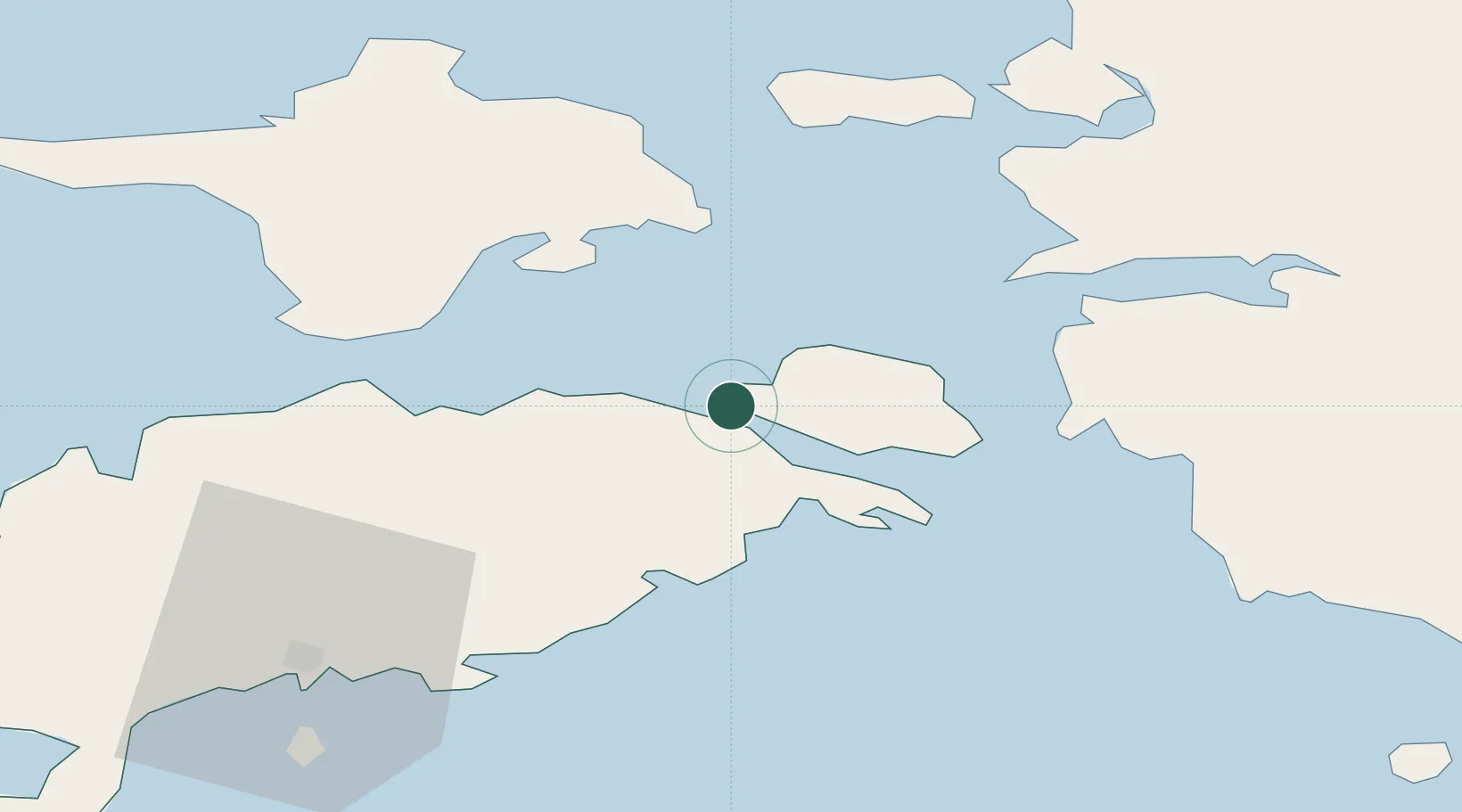
Nearby Logistics Neighbours

Cities
  1. 1Orissaare4 km
  2. 2Taaliku Sadam5 km
  3. 3Uisusadam6 km
  4. 4Võrkaia12 km
  5. 5Kallaste13 km
Nearest neighbours — logibook spatial index (haversine) over the source coordinates
Ports
  1. 1Virtsu26 km
  2. 2Heltermaa30 km
  3. 3Rohukula40 km
  4. 4Saaremaa sadam49 km
  5. 5Roomassaare54 km
Nearest neighbours — logibook spatial index (haversine) over the source coordinates
Airports
  1. 1Kärdla Airport46 km
  2. 2Kuressaare Airport52 km
  3. 3Pärnu Airport84 km
  4. 4Ruhnu Airfield91 km
  5. 5Ämari Air Base98 km
Nearest neighbours — logibook spatial index (haversine) over the source coordinates
Trade Zones
  1. 1Paldiski Free Zone100 km
  2. 2Muuga Free Zone136 km
  3. 3Freeport of Hanko137 km
  4. 4Free port of Ventspils161 km
  5. 5Free Port of Riga193 km
Nearest neighbours — logibook spatial index (haversine) over the source coordinates
DatabookThe Record of Consolidated Knowledge
Estonia beyond logistics?
Browse databook

All Sources

LocationsUN/LOCODE
UN/LOCODE — free
LocationsGeoNames
CC BY 4.0
Portsthe NGA World Port Index
Public domain (US gov)
AirportsOurAirports
Public domain
Trade Zonesthe World Bank SEZ database
CC BY 4.0
Trade ZonesOpen Zone Map
CC BY
← Estonia locations