Transport Functions
Port
Border Crossing
Hub Profile
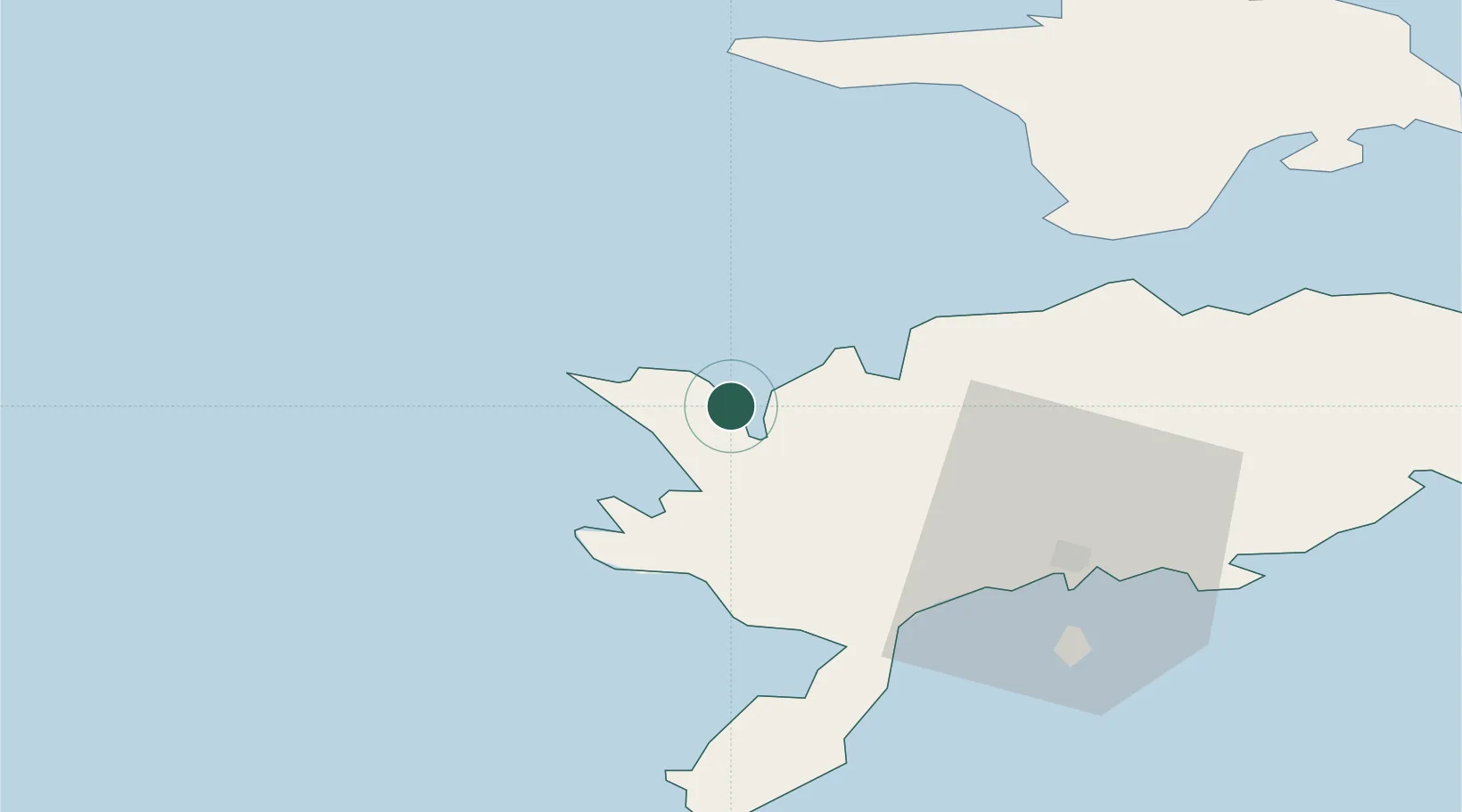
Place type
Populated place
Region
Saare
Time zone
Europe/Tallinn
Location
Nearby Logistics Neighbours
Cities
- 1Veere Vanasadam0 km
- 2Abaja Sadam11 km
- 3Papissaare Sadam12 km
- 4Saaremaa sadam13 km
- 5Vikati Sadam15 km
Ports
- 1Saaremaa sadam13 km
- 2Roomassaare39 km
- 3Heltermaa73 km
- 4Virtsu86 km
- 5Rohukula93 km
Airports
- 1Kuressaare Airport38 km
- 2Kärdla Airport74 km
- 3Ruhnu Airfield104 km
- 4Pärnu Airport141 km
- 5Ämari Air Base152 km
Trade Zones
- 1Free port of Ventspils123 km
- 2Paldiski Free Zone151 km
- 3Freeport of Hanko159 km
- 4Muuga Free Zone194 km
- 5Free Port of Riga207 km
DatabookThe Record of Consolidated Knowledge
Estonia beyond logistics?