UN/LOCODE hub · Estonia
EEVAR

Värssu

58.9333°, 22.9500°
1
Transport functions

Transport Functions

Port
UN/LOCODE

Hub Profile

Region
39
GeoNames

Location

Location of EEVAR
Natural Earth 10m (public domain) · 39 · EEVAR · 58.93, 22.95GoogleOSMYandex

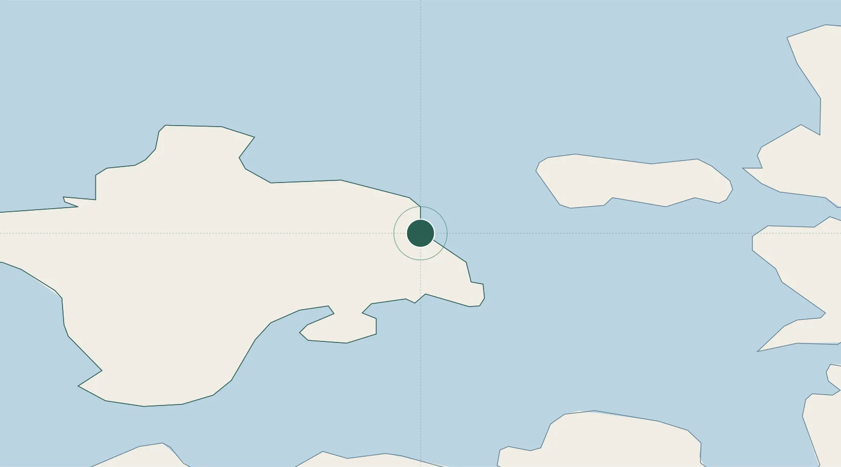
Nearby Logistics Neighbours

Cities
  1. 1Suursadam4 km
  2. 2Salinõmme Paadisadam6 km
  3. 3Vahtrepa Sadam7 km
  4. 4Hiiessaare9 km
  5. 5Heltermaa9 km
Nearest neighbours — logibook spatial index (haversine) over the source coordinates
Ports
  1. 1Heltermaa9 km
  2. 2Rohukula27 km
  3. 3Osmussaar47 km
  4. 4Virtsu51 km
  5. 5Saaremaa sadam60 km
Nearest neighbours — logibook spatial index (haversine) over the source coordinates
Airports
  1. 1Kärdla Airport9 km
  2. 2Ämari Air Base80 km
  3. 3Kuressaare Airport82 km
  4. 4Pärnu Airport105 km
  5. 5Tallinn Linnahall Heliport118 km
Nearest neighbours — logibook spatial index (haversine) over the source coordinates
Trade Zones
  1. 1Paldiski Free Zone78 km
  2. 2Freeport of Hanko100 km
  3. 3Muuga Free Zone124 km
  4. 4Turku Free Zone173 km
  5. 5Free port of Ventspils190 km
Nearest neighbours — logibook spatial index (haversine) over the source coordinates
DatabookThe Record of Consolidated Knowledge
Estonia beyond logistics?
Browse databook

All Sources

LocationsUN/LOCODE
UN/LOCODE — free
Portsthe NGA World Port Index
Public domain (US gov)
AirportsOurAirports
Public domain
Trade Zonesthe World Bank SEZ database
CC BY 4.0
Trade ZonesOpen Zone Map
CC BY
← Estonia locations