Transport Functions
Port
Hub Profile
Place type
Populated place
Region
Hiiumaa
Time zone
Europe/Tallinn
Elevation
7 m
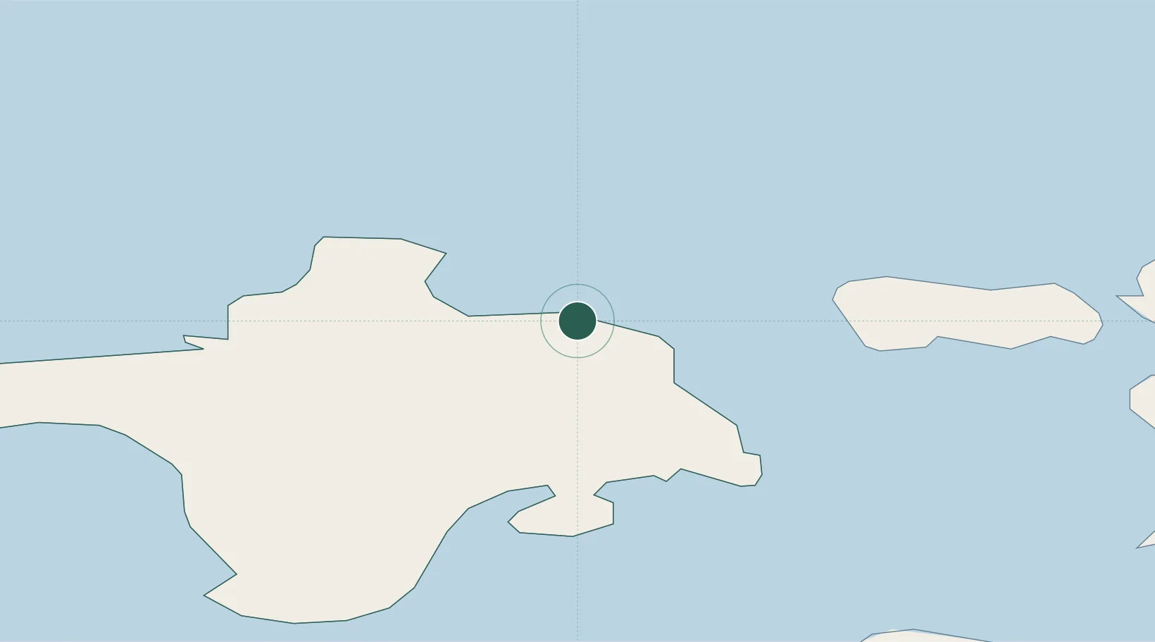
Location
Nearby Logistics Neighbours
Cities
- 1Roograhu2 km
- 2Suursadam5 km
- 3Kärdla6 km
- 4Salinõmme Paadisadam6 km
- 5Värssu9 km
Ports
- 1Heltermaa19 km
- 2Rohukula35 km
- 3Osmussaar45 km
- 4Virtsu61 km
- 5Saaremaa sadam63 km
Airports
- 1Kärdla Airport2 km
- 2Ämari Air Base83 km
- 3Kuressaare Airport88 km
- 4Pärnu Airport114 km
- 5Tallinn Linnahall Heliport119 km
Trade Zones
- 1Paldiski Free Zone79 km
- 2Freeport of Hanko92 km
- 3Muuga Free Zone128 km
- 4Turku Free Zone165 km
- 5Free port of Ventspils194 km
DatabookThe Record of Consolidated Knowledge
Estonia beyond logistics?