UN/LOCODE hub · Estonia
EESNP

Salinõmme Paadisadam

58.9833°, 22.9500°
1
Transport functions

Transport Functions

Port
UN/LOCODE

Hub Profile

Region
39
GeoNames

Location

Location of EESNP
Natural Earth 10m (public domain) · 39 · EESNP · 58.98, 22.95GoogleOSMYandex

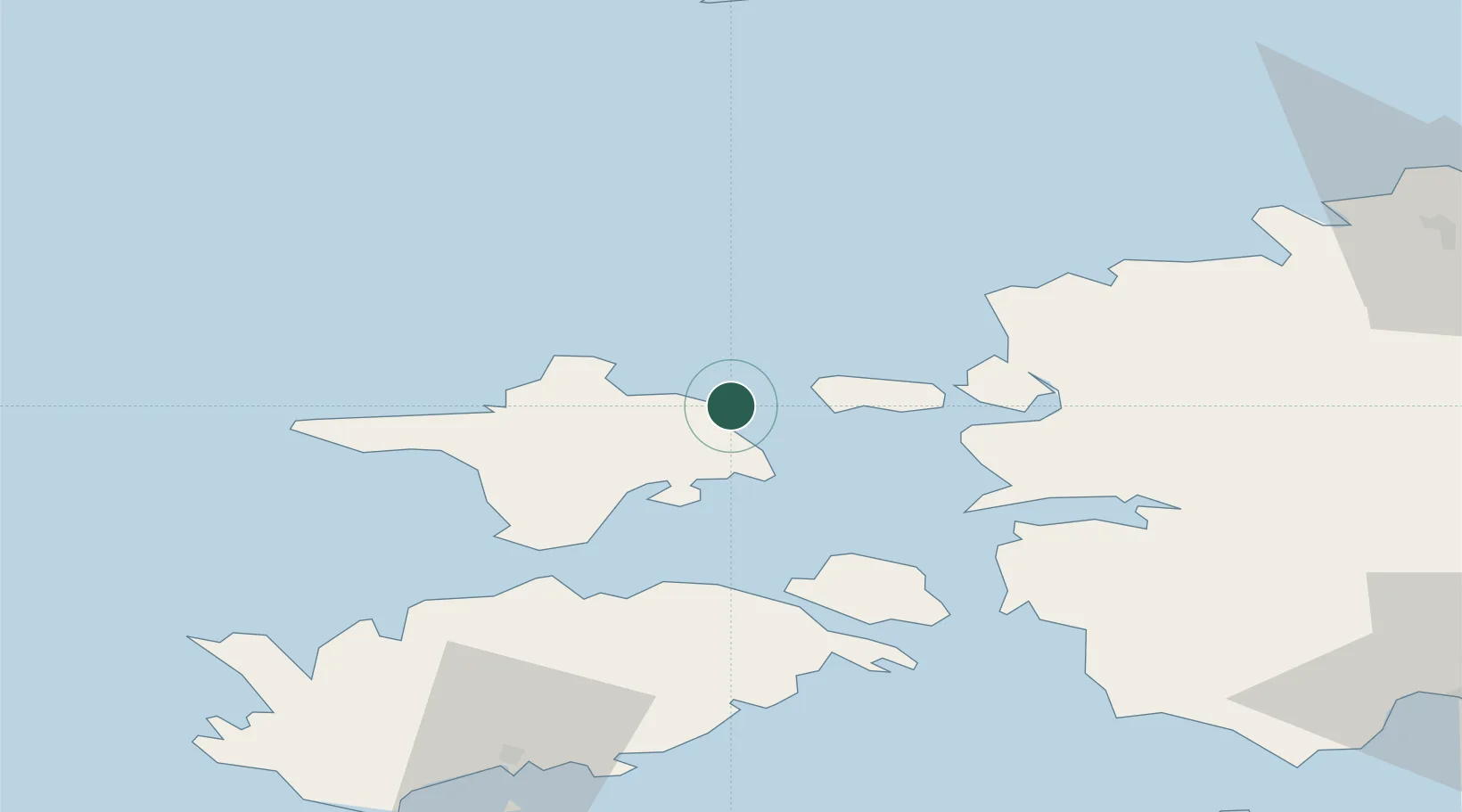
Nearby Logistics Neighbours

Cities
  1. 1Suursadam3 km
  2. 2Värssu6 km
  3. 3Hiiessaare6 km
  4. 4Roograhu8 km
  5. 5Kärdla12 km
Nearest neighbours — logibook spatial index (haversine) over the source coordinates
Ports
  1. 1Heltermaa14 km
  2. 2Rohukula29 km
  3. 3Osmussaar43 km
  4. 4Virtsu56 km
  5. 5Saaremaa sadam65 km
Nearest neighbours — logibook spatial index (haversine) over the source coordinates
Airports
  1. 1Kärdla Airport7 km
  2. 2Ämari Air Base78 km
  3. 3Kuressaare Airport88 km
  4. 4Pärnu Airport108 km
  5. 5Tallinn Linnahall Heliport115 km
Nearest neighbours — logibook spatial index (haversine) over the source coordinates
Trade Zones
  1. 1Paldiski Free Zone75 km
  2. 2Freeport of Hanko94 km
  3. 3Muuga Free Zone123 km
  4. 4Turku Free Zone168 km
  5. 5Free port of Ventspils195 km
Nearest neighbours — logibook spatial index (haversine) over the source coordinates
DatabookThe Record of Consolidated Knowledge
Estonia beyond logistics?
Browse databook

All Sources

LocationsUN/LOCODE
UN/LOCODE — free
Portsthe NGA World Port Index
Public domain (US gov)
AirportsOurAirports
Public domain
Trade Zonesthe World Bank SEZ database
CC BY 4.0
Trade ZonesOpen Zone Map
CC BY
← Estonia locations