Transport Functions
Port
Border Crossing
Hub Profile
Place type
Populated place
Region
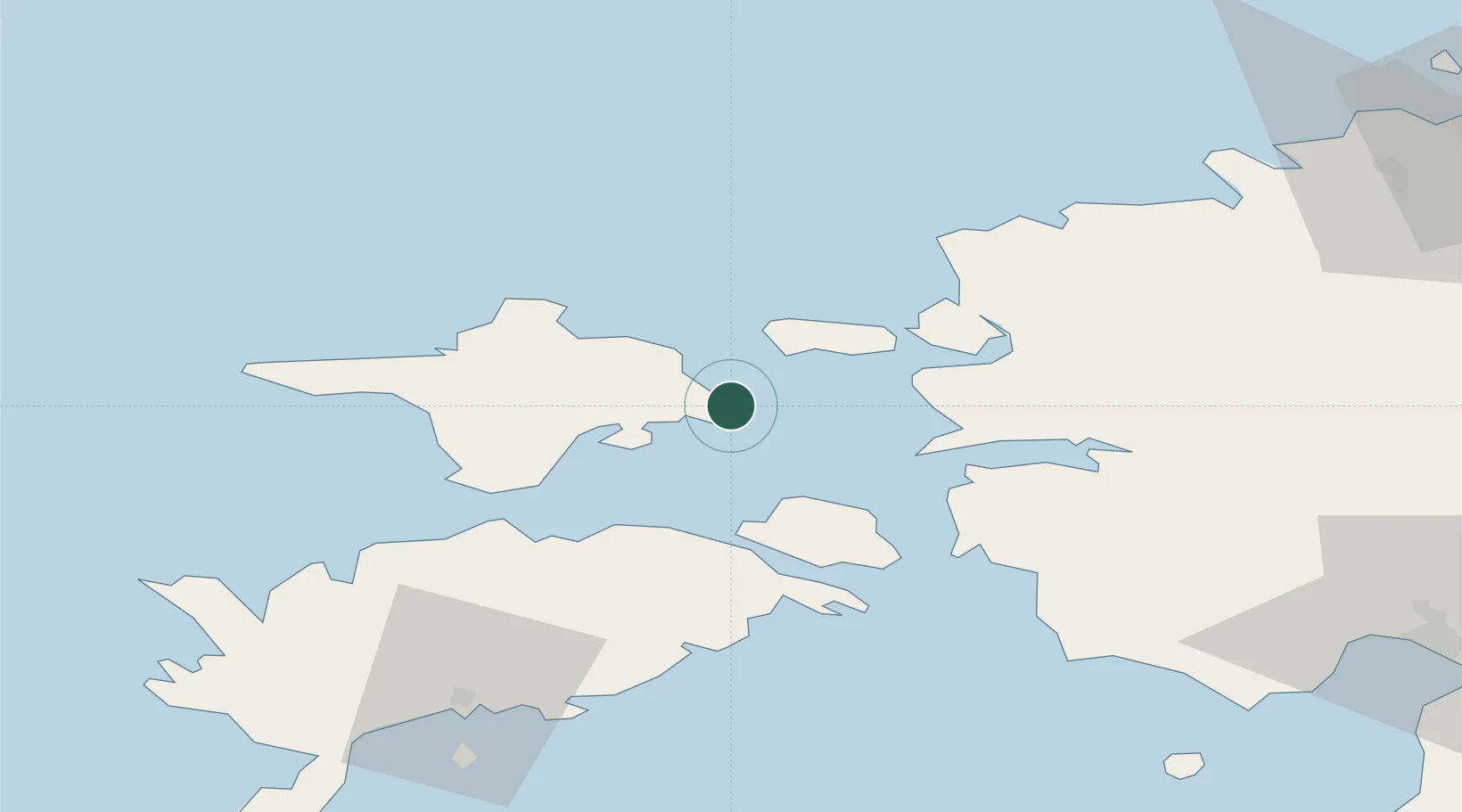
Hiiumaa
Time zone
Europe/Tallinn
Elevation
7 m
Location
Nearby Logistics Neighbours
Cities
- 1Vahtrepa Sadam3 km
- 2Naistlaiu Sadam6 km
- 3Salinõmme7 km
- 4Salinõmme Kalasadam7 km
- 5Värssu9 km
Ports
- 1Rohukula22 km
- 2Virtsu42 km
- 3Osmussaar52 km
- 4Saaremaa sadam60 km
- 5Paldiski Pohjasadam78 km
Airports
- 1Kärdla Airport19 km
- 2Kuressaare Airport77 km
- 3Ämari Air Base79 km
- 4Pärnu Airport96 km
- 5Tallinn Linnahall Heliport117 km
Trade Zones
- 1Paldiski Free Zone78 km
- 2Freeport of Hanko108 km
- 3Muuga Free Zone122 km
- 4Turku Free Zone182 km
- 5Free port of Ventspils186 km
DatabookThe Record of Consolidated Knowledge
Estonia beyond logistics?