Transport Functions
Port
Hub Profile
Region
39
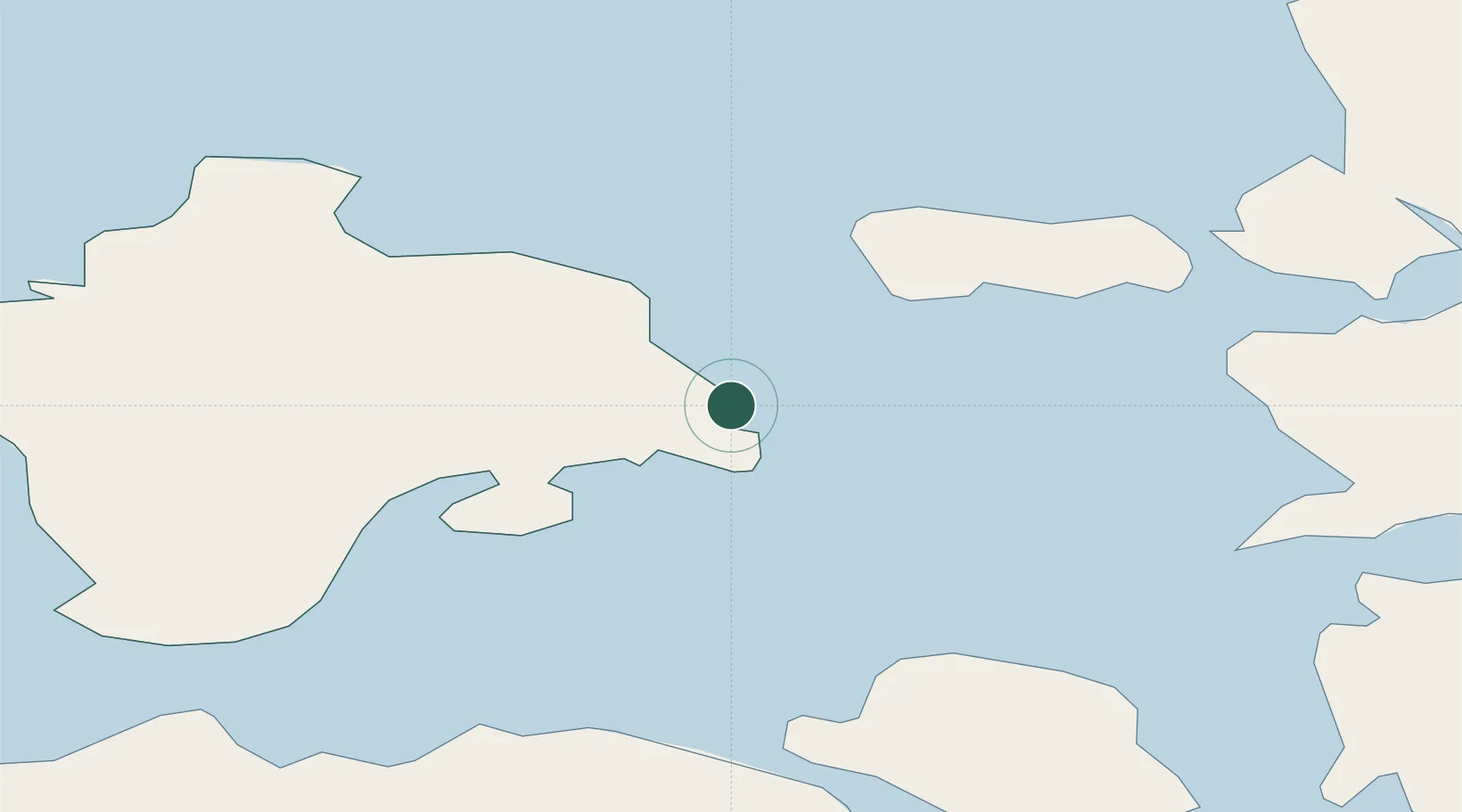
Location
Nearby Logistics Neighbours
Cities
- 1Heltermaa3 km
- 2Värssu7 km
- 3Salinõmme7 km
- 4Salinõmme Kalasadam7 km
- 5Naistlaiu Sadam8 km
Ports
- 1Heltermaa3 km
- 2Rohukula24 km
- 3Virtsu45 km
- 4Osmussaar51 km
- 5Saaremaa sadam59 km
Airports
- 1Kärdla Airport16 km
- 2Kuressaare Airport78 km
- 3Ämari Air Base80 km
- 4Pärnu Airport99 km
- 5Tallinn Linnahall Heliport117 km
Trade Zones
- 1Paldiski Free Zone79 km
- 2Freeport of Hanko106 km
- 3Muuga Free Zone123 km
- 4Turku Free Zone179 km
- 5Free port of Ventspils187 km
DatabookThe Record of Consolidated Knowledge
Estonia beyond logistics?