Transport Functions
Port
Hub Profile
Region
39
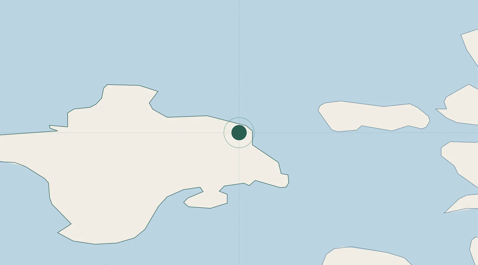
Location
Nearby Logistics Neighbours
Cities
- 1Salinõmme Paadisadam3 km
- 2Värssu4 km
- 3Hiiessaare5 km
- 4Roograhu7 km
- 5Kärdla10 km
Ports
- 1Heltermaa13 km
- 2Rohukula30 km
- 3Osmussaar45 km
- 4Virtsu55 km
- 5Saaremaa sadam62 km
Airports
- 1Kärdla Airport6 km
- 2Ämari Air Base80 km
- 3Kuressaare Airport85 km
- 4Pärnu Airport109 km
- 5Tallinn Linnahall Heliport117 km
Trade Zones
- 1Paldiski Free Zone78 km
- 2Freeport of Hanko96 km
- 3Muuga Free Zone125 km
- 4Turku Free Zone169 km
- 5Free port of Ventspils192 km
DatabookThe Record of Consolidated Knowledge
Estonia beyond logistics?