UN/LOCODE hub · Estonia
EESUA

Suaru

58.1333°, 24.0167°
1
Transport functions

Transport Functions

Port
UN/LOCODE

Hub Profile

Region
68
GeoNames

Location

Location of EESUA
Natural Earth 10m (public domain) · 68 · EESUA · 58.13, 24.02GoogleOSMYandex

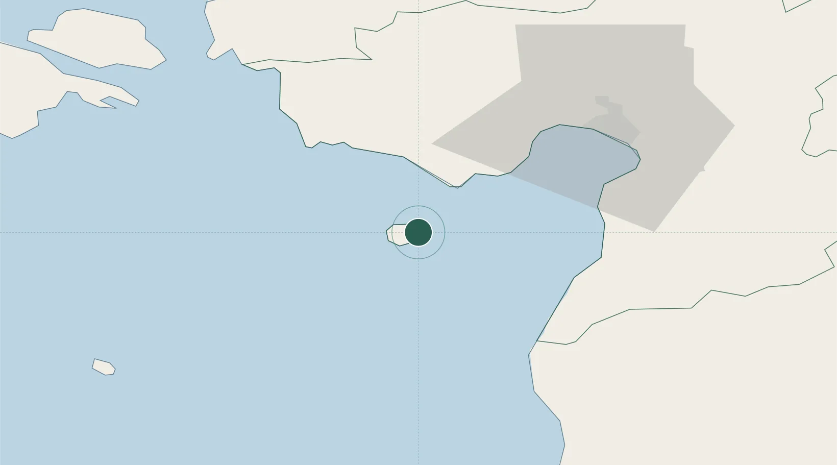
Nearby Logistics Neighbours

Cities
  1. 1Kihnu0 km
  2. 2Suaru Kalasadam1 km
  3. 3Sigatsuaru Väikesadam2 km
  4. 4Lao13 km
  5. 5Munalaiu13 km
Nearest neighbours — logibook spatial index (haversine) over the source coordinates
Ports
  1. 1Parnu39 km
  2. 2Salacgriva52 km
  3. 3Virtsu57 km
  4. 4Roomassaare89 km
  5. 5Rohukula93 km
Nearest neighbours — logibook spatial index (haversine) over the source coordinates
Airports
  1. 1Pärnu Airport42 km
  2. 2Ruhnu Airfield59 km
  3. 3Kuressaare Airport89 km
  4. 4Kärdla Airport118 km
  5. 5Ämari Air Base126 km
Nearest neighbours — logibook spatial index (haversine) over the source coordinates
Trade Zones
  1. 1Free Port of Riga131 km
  2. 2Paldiski Free Zone134 km
  3. 3Muuga Free Zone141 km
  4. 4Free port of Ventspils169 km
  5. 5Freeport of Hanko199 km
Nearest neighbours — logibook spatial index (haversine) over the source coordinates
DatabookThe Record of Consolidated Knowledge
Estonia beyond logistics?
Browse databook

All Sources

LocationsUN/LOCODE
UN/LOCODE — free
Portsthe NGA World Port Index
Public domain (US gov)
AirportsOurAirports
Public domain
Trade Zonesthe World Bank SEZ database
CC BY 4.0
Trade ZonesOpen Zone Map
CC BY
← Estonia locations