Transport Functions
Port
Border Crossing
Hub Profile
Place type
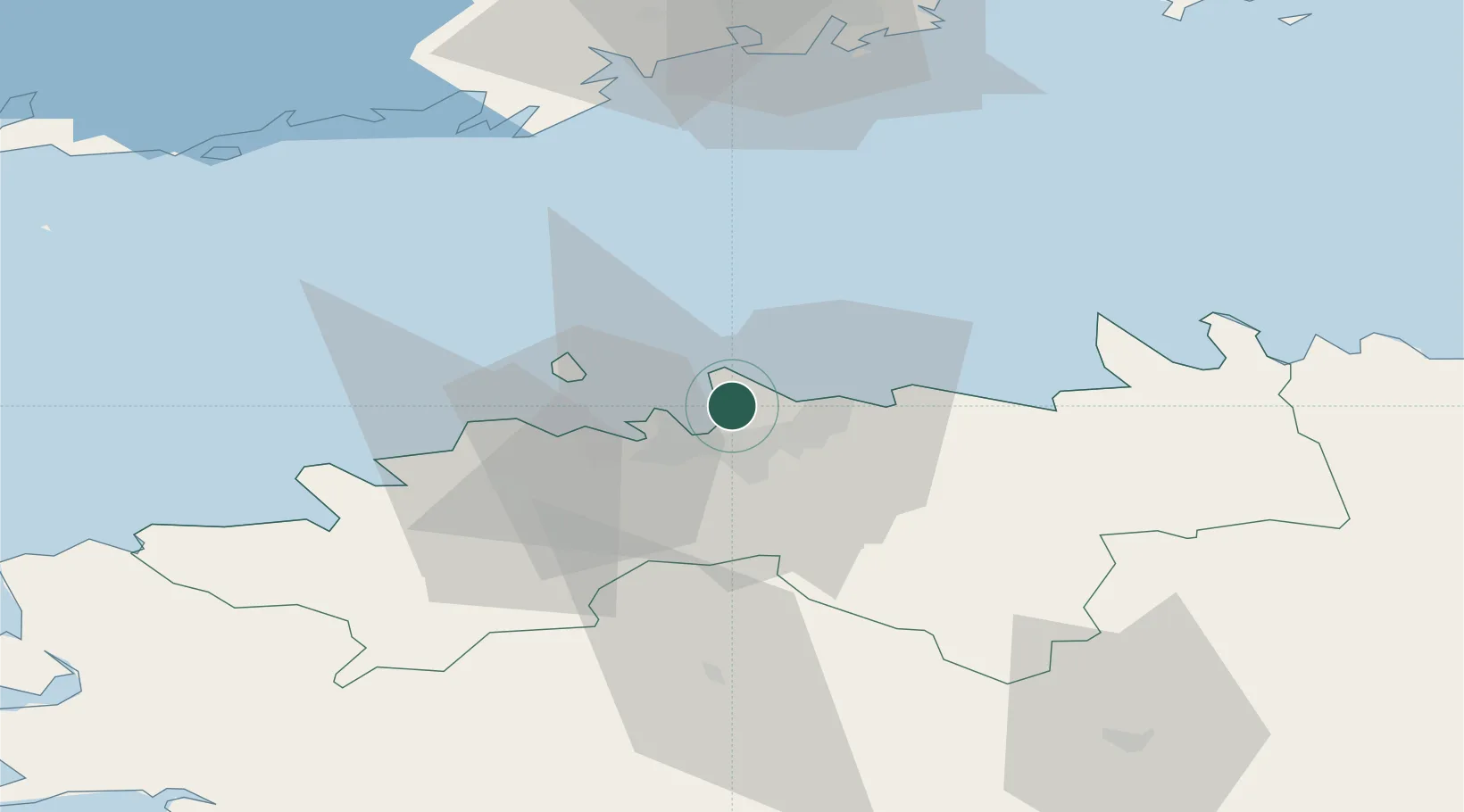
Populated place
Region
Harjumaa
Population
399
Time zone
Europe/Tallinn
Elevation
18 m
Location
Nearby Logistics Neighbours
Cities
- 1Pirita4 km
- 2Kalevi Jahtklubi4 km
- 3Leppneeme4 km
- 4Tammneeme Sadam4 km
- 5Kelvingi6 km
Ports
- 1Vanasadam - Port of Tallinn6 km
- 2Paljassaare8 km
- 3Lahesuu8 km
- 4Muuga-Port of Tallin9 km
- 5Meeruse10 km
Airports
- 1Tallinn Linnahall Heliport7 km
- 2Lennart Meri Tallinn Airport10 km
- 3Ämari Air Base44 km
- 4Helsinki Vantaa Airport91 km
- 5Pärnu Airport122 km
Trade Zones
- 1Muuga Free Zone25 km
- 2Paldiski Free Zone46 km
- 3Freeport of Hanko115 km
- 4Port of Hamina-Kotka160 km
- 5Port of Sillamäe164 km
DatabookThe Record of Consolidated Knowledge
Estonia beyond logistics?