Transport Functions
Port
Hub Profile
Place type
Populated place
Region
Saare
Time zone
Europe/Tallinn
Elevation
5 m
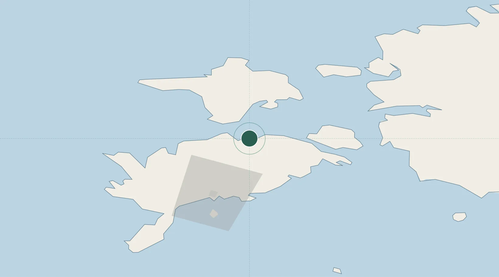
Location
Nearby Logistics Neighbours
Cities
- 1Soela7 km
- 2Tärkma12 km
- 3Sõru15 km
- 4Taaliku Sadam15 km
- 5Sõru Väikelaevasadam16 km
Ports
- 1Saaremaa sadam29 km
- 2Heltermaa35 km
- 3Roomassaare45 km
- 4Virtsu46 km
- 5Rohukula53 km
Airports
- 1Kuressaare Airport43 km
- 2Kärdla Airport44 km
- 3Ruhnu Airfield96 km
- 4Pärnu Airport104 km
- 5Ämari Air Base113 km
Trade Zones
- 1Paldiski Free Zone113 km
- 2Freeport of Hanko137 km
- 3Free port of Ventspils151 km
- 4Muuga Free Zone153 km
- 5Free Port of Riga200 km
DatabookThe Record of Consolidated Knowledge
Estonia beyond logistics?