UN/LOCODE hub · Estonia
EERGR

Roograhu

59.0000°, 22.8167°
1
Transport functions

Transport Functions

Port
UN/LOCODE

Hub Profile

Region
39
GeoNames

Location

Location of EERGR
Natural Earth 10m (public domain) · 39 · EERGR · 59.00, 22.82GoogleOSMYandex

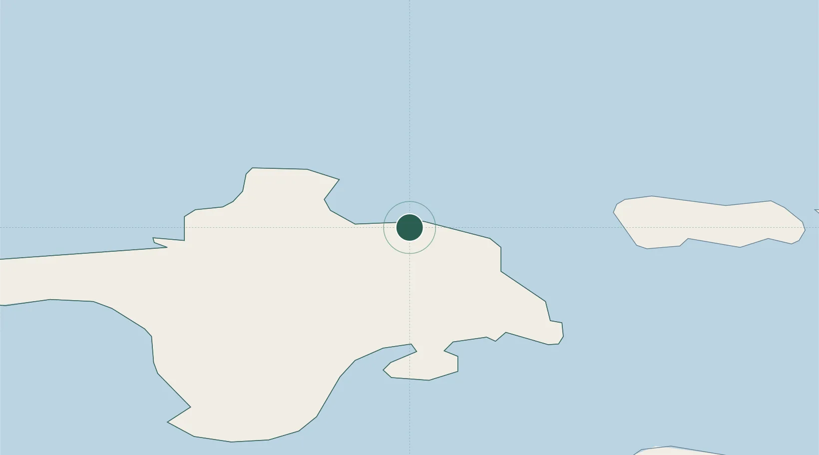
Nearby Logistics Neighbours

Cities
  1. 1Hiiessaare2 km
  2. 2Kärdla4 km
  3. 3Suursadam7 km
  4. 4Salinõmme Paadisadam8 km
  5. 5Lehtma Kalurisadam10 km
Nearest neighbours — logibook spatial index (haversine) over the source coordinates
Ports
  1. 1Heltermaa20 km
  2. 2Rohukula36 km
  3. 3Osmussaar46 km
  4. 4Saaremaa sadam62 km
  5. 5Virtsu62 km
Nearest neighbours — logibook spatial index (haversine) over the source coordinates
Airports
  1. 1Kärdla Airport1 km
  2. 2Ämari Air Base84 km
  3. 3Kuressaare Airport88 km
  4. 4Pärnu Airport115 km
  5. 5Tallinn Linnahall Heliport121 km
Nearest neighbours — logibook spatial index (haversine) over the source coordinates
Trade Zones
  1. 1Paldiski Free Zone81 km
  2. 2Freeport of Hanko92 km
  3. 3Muuga Free Zone129 km
  4. 4Turku Free Zone164 km
  5. 5Free port of Ventspils193 km
Nearest neighbours — logibook spatial index (haversine) over the source coordinates
DatabookThe Record of Consolidated Knowledge
Estonia beyond logistics?
Browse databook

All Sources

LocationsUN/LOCODE
UN/LOCODE — free
Portsthe NGA World Port Index
Public domain (US gov)
AirportsOurAirports
Public domain
Trade Zonesthe World Bank SEZ database
CC BY 4.0
Trade ZonesOpen Zone Map
CC BY
← Estonia locations