Transport Functions
Port
Airport
Hub Profile
Place type
Populated place
Region
Tartu
Time zone
Europe/Tallinn
Elevation
40 m
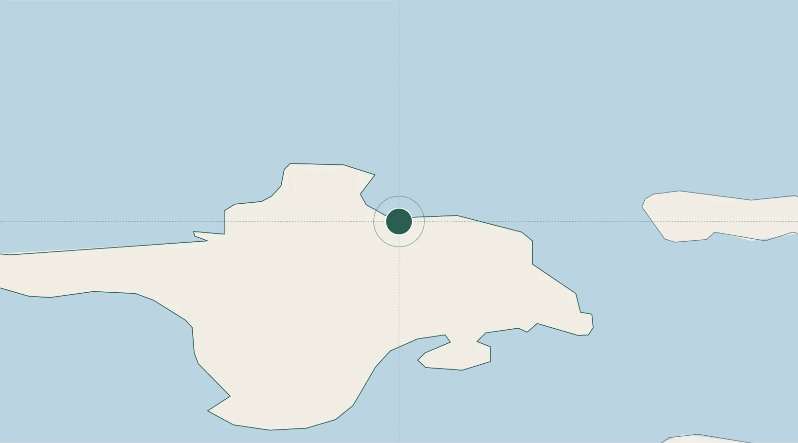
Location
Nearby Logistics Neighbours
Cities
- 1Roograhu4 km
- 2Hiiessaare6 km
- 3Lehtma Kalurisadam8 km
- 4Lehtma8 km
- 5Suursadam10 km
Ports
- 1Heltermaa23 km
- 2Rohukula40 km
- 3Osmussaar49 km
- 4Saaremaa sadam60 km
- 5Virtsu64 km
Airports
- 1Kärdla Airport5 km
- 2Kuressaare Airport87 km
- 3Ämari Air Base88 km
- 4Pärnu Airport119 km
- 5Tallinn Linnahall Heliport124 km
Trade Zones
- 1Paldiski Free Zone84 km
- 2Freeport of Hanko93 km
- 3Muuga Free Zone133 km
- 4Turku Free Zone163 km
- 5Free port of Ventspils192 km
DatabookThe Record of Consolidated Knowledge
Estonia beyond logistics?