Transport Functions
Port
Hub Profile
Place type
Populated place
Region
Hiiumaa
Time zone
Europe/Tallinn
Elevation
8 m
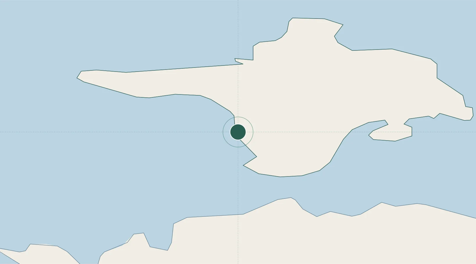
Location
Nearby Logistics Neighbours
Cities
- 1Sõru Väikelaevasadam12 km
- 2Sõru12 km
- 3Tärkma16 km
- 4Orjaku18 km
- 5Tuletorni18 km
Ports
- 1Saaremaa sadam32 km
- 2Heltermaa35 km
- 3Rohukula57 km
- 4Roomassaare65 km
- 5Virtsu66 km
Airports
- 1Kärdla Airport31 km
- 2Kuressaare Airport64 km
- 3Ämari Air Base113 km
- 4Ruhnu Airfield122 km
- 5Pärnu Airport125 km
Trade Zones
- 1Paldiski Free Zone110 km
- 2Freeport of Hanko117 km
- 3Muuga Free Zone157 km
- 4Free port of Ventspils165 km
- 5Turku Free Zone183 km
DatabookThe Record of Consolidated Knowledge
Estonia beyond logistics?