UN/LOCODE hub · Estonia
EEOST

Österby

58.9833°, 23.5167°
1
Transport functions

Transport Functions

Port
UN/LOCODE

Hub Profile

Region
56
GeoNames

Location

Location of EEOST
Natural Earth 10m (public domain) · 56 · EEOST · 58.98, 23.52GoogleOSMYandex

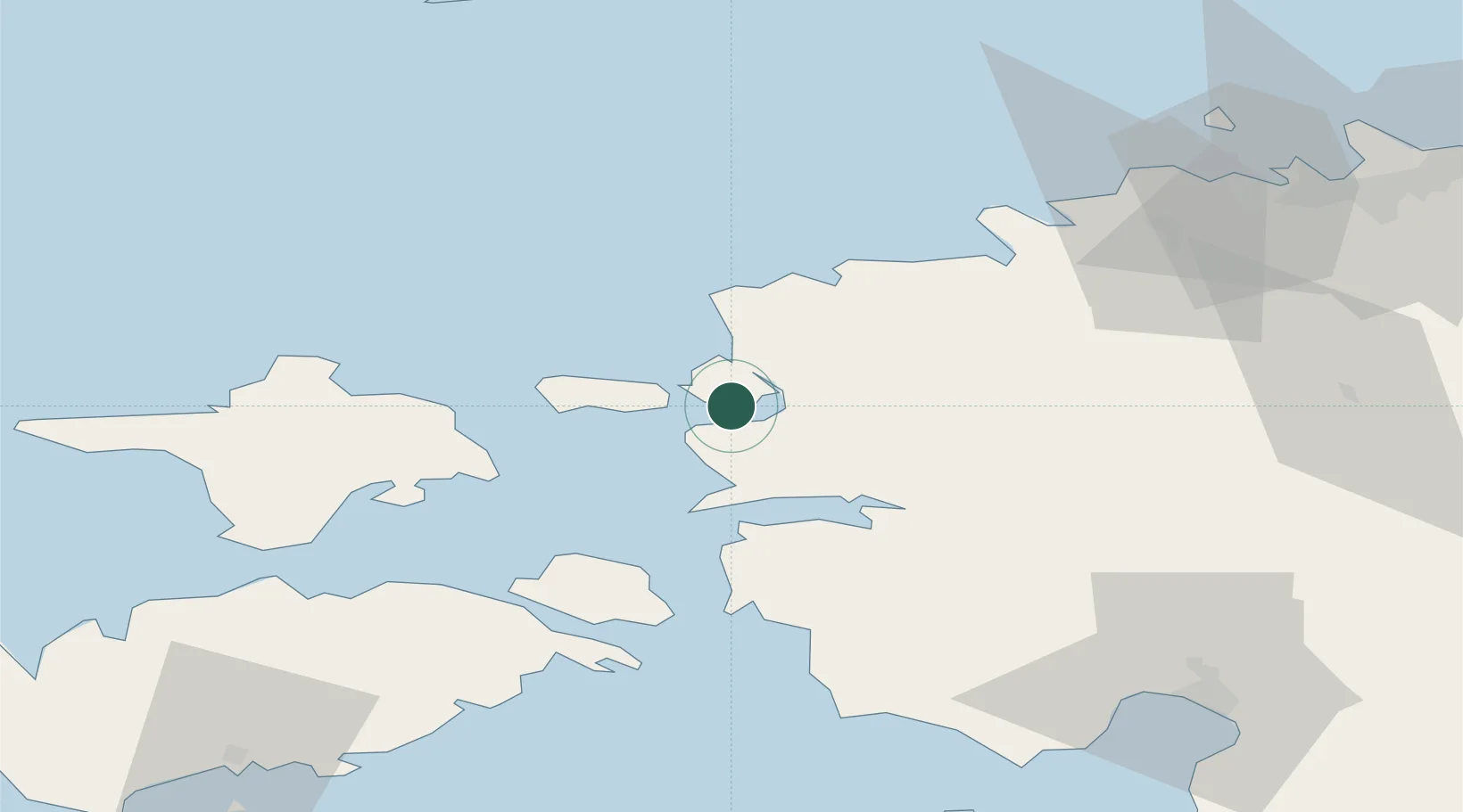
Nearby Logistics Neighbours

Cities
  1. 1Westmeri2 km
  2. 2Haapsalu Veskiviigi2 km
  3. 3Suur-Holmi2 km
  4. 4Westmeri Jahisadam2 km
  5. 5Haapsalu6 km
Nearest neighbours — logibook spatial index (haversine) over the source coordinates
Ports
  1. 1Rohukula10 km
  2. 2Heltermaa30 km
  3. 3Osmussaar36 km
  4. 4Virtsu45 km
  5. 5Paldiski Lounasadam51 km
Nearest neighbours — logibook spatial index (haversine) over the source coordinates
Airports
  1. 1Kärdla Airport39 km
  2. 2Ämari Air Base50 km
  3. 3Pärnu Airport84 km
  4. 4Tallinn Linnahall Heliport87 km
  5. 5Lennart Meri Tallinn Airport89 km
Nearest neighbours — logibook spatial index (haversine) over the source coordinates
Trade Zones
  1. 1Paldiski Free Zone50 km
  2. 2Muuga Free Zone92 km
  3. 3Freeport of Hanko101 km
  4. 4Turku Free Zone178 km
  5. 5Free port of Ventspils211 km
Nearest neighbours — logibook spatial index (haversine) over the source coordinates
DatabookThe Record of Consolidated Knowledge
Estonia beyond logistics?
Browse databook

All Sources

LocationsUN/LOCODE
UN/LOCODE — free
Portsthe NGA World Port Index
Public domain (US gov)
AirportsOurAirports
Public domain
Trade Zonesthe World Bank SEZ database
CC BY 4.0
Trade ZonesOpen Zone Map
CC BY
← Estonia locations