Transport Functions
Port
Hub Profile
Region
39
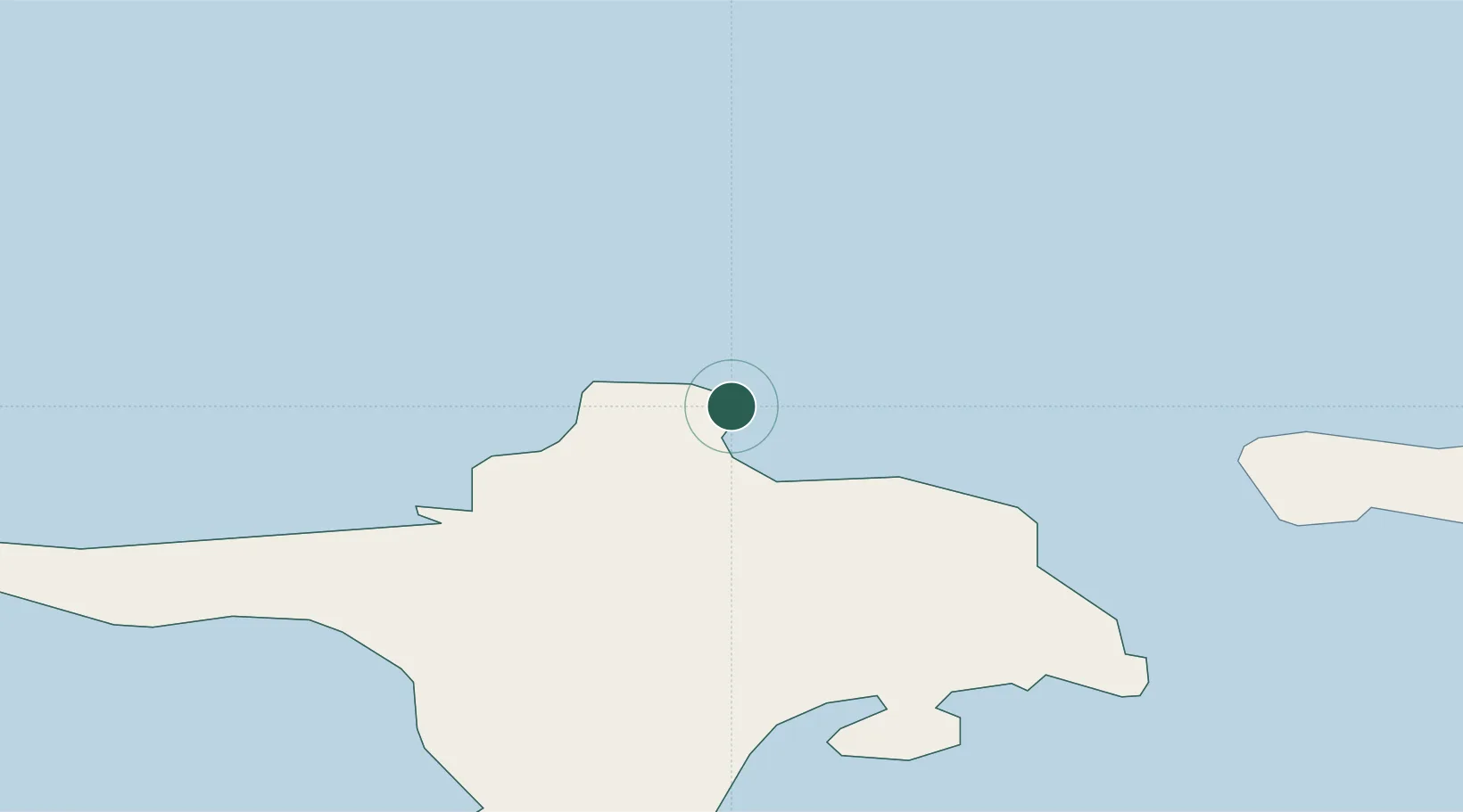
Location
Nearby Logistics Neighbours
Cities
- 1Lehtma0 km
- 2Kärdla8 km
- 3Roograhu10 km
- 4Hiiessaare11 km
- 5Suursadam17 km
Ports
- 1Heltermaa30 km
- 2Rohukula45 km
- 3Osmussaar46 km
- 4Saaremaa sadam65 km
- 5Virtsu72 km
Airports
- 1Kärdla Airport11 km
- 2Ämari Air Base88 km
- 3Kuressaare Airport94 km
- 4Tallinn Linnahall Heliport124 km
- 5Pärnu Airport125 km
Trade Zones
- 1Paldiski Free Zone84 km
- 2Freeport of Hanko86 km
- 3Muuga Free Zone134 km
- 4Turku Free Zone156 km
- 5Free port of Ventspils198 km
DatabookThe Record of Consolidated Knowledge
Estonia beyond logistics?